Approximate Location Map
Large Map »
This site is entirely user-supported. See how you can help.
Latitude: 54.4858 / 54°29'9"N
Longitude: -0.8519 / 0°51'6"W
OS Eastings: 474473.295409
OS Northings: 510662.208648
OS Grid: NZ744106
Mapcode National: GBR QJHK.CQ
Mapcode Global: WHF8P.WHHY
Entry Name: Pit alignment on Black Dike Moor, 800m south west of Nan Stone
Scheduled Date: 4 February 1999
Source: Historic England
Source ID: 1017305
English Heritage Legacy ID: 32620
County: North Yorkshire
Civil Parish: Glaisdale
Traditional County: Yorkshire
Lieutenancy Area (Ceremonial County): North Yorkshire
Church of England Parish: Glaisdale St Thomas
Church of England Diocese: York
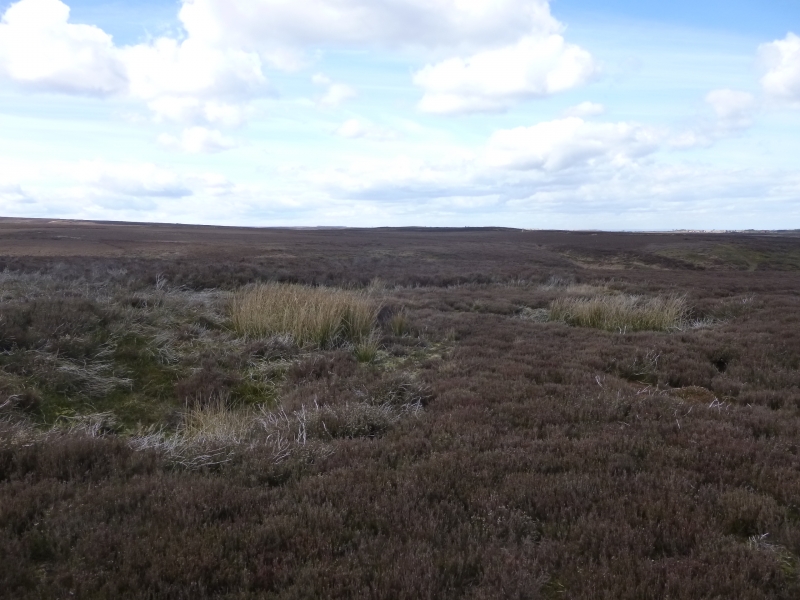
The monument includes the buried and earthwork remains of a pit alignment on
the eastern side of Black Dike Moor about 500m ESE of a similar pit alignment
on Middle Rigg, Easington High Moor.
The pit alignment was first noted by Young in 1817 who interpreted the remains
as an ancient British pit village. Canon Atkinson investigated one of the pits
in the alignment on nearby Middle Rigg in 1848 and found it to have a stone
floor 1.2m-1.5m below the level of the surrounding ground surface. Elgee
reinterpreted the pit alignments as an unfinished cross dyke in 1930 and in
1993 the area was surveyed by the Royal Commission on the Historic Monuments
of England who identified it as a surviving example of a particular form of
pit alignment, a segmented embanked pit alignment.
The pit alignment on Black Dike Moor survives as two lengths of earthworks cut
through by a number of later trackways. Each section of pit alignment is
further subdivided into segments, with each segment typically having between
two and four pairs of pits flanked to the NNE and SSW by a pair of banks. Each
segment is divided from the next by a slight change in direction or a small
break in the flanking banks. The two lines of paired pits are typically
centred 10m apart and are up to 3m in diameter with the banks 12m to 18m apart
and up to 1m high. The pit alignment is on the same axis as the one on Middle
Rigg to the west, but it is offset to the north east by about 130m. The
alignment on Black Dike Moor extends south east from a break of slope above
Bella Dale Slack for just over 210m and has 25 identifiable pits arranged in
five sections. The eastern end of the alignment is cut through by a series of
trackways. However the bottoms of further pits will survive as infilled
features in this area, and are therefore included in the scheduling.
MAP EXTRACT
The site of the monument is shown on the attached map extract.
It includes a 5 metre boundary around the archaeological features,
considered to be essential for the monument's support and preservation.
Source: Historic England
Pit alignments have been identified in many locations across the country,
normally as crop mark sites. They frequently extend for great distances and
are considered to have acted as territorial markers or boundaries during the
prehistoric period. However the pit alignment on Black Dike Moor is of an
unusual form, both in being embanked and arranged in segments. Only three
other similar sites are known, all within the River Esk basin, and associated
with Bronze Age burial mounds. The pit alignment is important because it
survives as extant earthworks, is of a rare form, and is associated with a
second alignment and important group of round barrows on Middle Rigg
approximately 550m to the west.
Source: Historic England
Books and journals
Lofthouse, C A, 'Proceedings of the Prehistoric Society' in Segmented Embanked Pit Alignments in the North York Moors, , Vol. 159, (1993), 383-392
Source: Historic England
Other nearby scheduled monuments