Approximate Location Map
Large Map »
This site is entirely user-supported. See how you can help.
Latitude: 54.5056 / 54°30'20"N
Longitude: -0.7189 / 0°43'8"W
OS Eastings: 483051.030691
OS Northings: 513005.864731
OS Grid: NZ830130
Mapcode National: GBR RJFB.4N
Mapcode Global: WHF8R.X0TS
Entry Name: Standing stone 470m north east of High Farm, known as Wade's Stone
Scheduled Date: 28 October 1968
Last Amended: 2 July 1999
Source: Historic England
Source ID: 1016542
English Heritage Legacy ID: 32481
County: North Yorkshire
Civil Parish: Barnby
Traditional County: Yorkshire
Lieutenancy Area (Ceremonial County): North Yorkshire
Church of England Parish: Lythe with Sandsend
Church of England Diocese: York
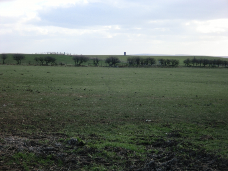
The monument includes a standing stone situated in a prominent position on a
ridge at the north edge of the North York Moors.
The standing stone is roughly cut into a rectangular shape which leans very
slightly to the north. It stands up to 2m high and measures up to 0.75m by
0.6m in section. The top of the stone is weathered. The stone stands in the
centre of a hollow up to 3m across and 0.3m deep which has been eroded by
stock. Several small and medium sized stones are visible in the hollow and
these would have been part of the packing around the standing stone to support
it when it was set in the ground. Small scale excavation in the early 1900s to
the immediate east of the standing stone uncovered a later burial accompanied
by an iron spearhead, interpreted as Anglian in date.
The standing stone is situated in an area which includes many prehistoric
burial monuments as well as further standing stones.
MAP EXTRACT
The site of the monument is shown on the attached map extract.
It includes a 2 metre boundary around the archaeological features,
considered to be essential for the monument's support and preservation.
Source: Historic England
Standing stones are prehistoric ritual or ceremonial monuments with dates
ranging from the Late Neolithic to the end of the Bronze Age for the few
excavated examples. They comprise single or paired upright orthostatic slabs,
ranging from under lm to over 6m high where still erect. They are often
conspicuously sited and close to other contemporary monument classes. They can
be accompanied by various features: many occur in or on the edge of round
barrows, and where excavated, associated subsurface features have included
stone cists, stone settings, and various pits and hollows filled in with earth
containing human bone, cremations, charcoal, flints, pots and pot sherds.
Similar deposits have been found in excavated sockets for standing stones,
which range considerably in depth. Several standing stones also bear cup and
ring marks. Standing stones may have functioned as markers for routeways,
territories, graves, or meeting points, but their accompanying features show
they also bore a ritual function and that they form one of several ritual
monument classes of their period that often contain a deposit of cremation and
domestic debris as an integral component. No national survey of standing
stones has been undertaken, and estimates range from 50 to 250 extant
examples, widely distributed throughout England but with concentrations in
Cornwall, the North Yorkshire Moors, Cumbria, Derbyshire and the Cotswolds.
Standing stones are important as nationally rare monuments, with a high
longevity and demonstrating the diversity of ritual practices in the Late
Neolithic and Bronze Age. Consequently all undisturbed standing stones and
those which represent the main range of types and locations would normally be
considered to be of national importance.
Despite limited disturbance the standing stone 470m north east of High Farm,
known as Wade's Stone, survives well. Significant information about the
construction of the monument and the nature of the rituals associated with its
use will be preserved within the stone socket and surrounding area. The
standing stone lies in an area where there is a concentration of prehistoric
burial monuments as well as further standing stones. Associated groups of
monuments such as this offer scope for the study of developing ritual practice
during the prehistoric period. This stone is particularly important because of
its prominence in the landscape and because of its continued focus for ritual
activity beyond the prehistoric period.
Source: Historic England
Books and journals
Spratt, D A , 'Prehistoric and Roman Archaeology in North East Yorkshire' in Prehistoric and Roman Archaeology of North East Yorkshire, , Vol. 87, (1993)
Other
7403,
Source: Historic England
Other nearby scheduled monuments