Approximate Location Map
Large Map »
This site is entirely user-supported. See how you can help.
Latitude: 54.5081 / 54°30'29"N
Longitude: -1.0928 / 1°5'34"W
OS Eastings: 458836.775512
OS Northings: 512911.048336
OS Grid: NZ588129
Mapcode National: GBR NJT9.6R
Mapcode Global: WHF8D.5YWD
Entry Name: Round barrow on Ryston Bank, 630m south west of Hanging Stone
Scheduled Date: 25 November 1969
Last Amended: 2 December 1998
Source: Historic England
Source ID: 1018661
English Heritage Legacy ID: 32008
County: Redcar and Cleveland
Civil Parish: Guisborough
Traditional County: Yorkshire
Lieutenancy Area (Ceremonial County): North Yorkshire
Church of England Parish: Newton under Roseberry
Church of England Diocese: York
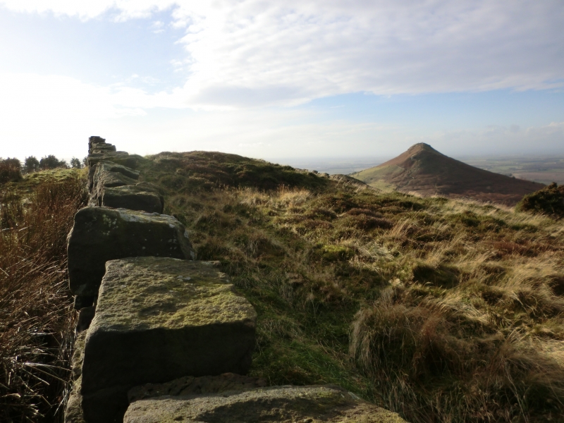
The monument includes a round barrow situated in a prominent position at the
top of a north west facing scarp slope on the edge of the North York Moors.
The barrow has an earth and stone mound 14m in diameter and standing up to
1.5m high. It was originally surrounded by a kerb of stones which defined the
barrow and supported the mound. However, over the years many of these stones
have been taken away or buried by soil slipping off the mound, although some
can just be seen on the surface at the north and south edges. In the centre of
the mound there is a hollow caused by past excavations. The line of an early
excavation trench can also be seen running in a westerly direction from the
centre of the mound. A boundary stone, Grade II listed, is situated 2m from
the southern edge of the mound, bearing the legend TKS1815 on its south east
face. The barrow is one in a line of four spread along the top of Ryston Bank
(the other three form the subject of separate schedulings) and lies in an area
rich in prehistoric monuments, including further barrows, field systems and
clearance cairns.
The field boundary wall and fences which cross the mound, are excluded from
the scheduling, although the ground beneath them is included.
MAP EXTRACT
The site of the monument is shown on the attached map extract.
It includes a 2 metre boundary around the archaeological features,
considered to be essential for the monument's support and preservation.
Source: Historic England
Bowl barrows, the most numerous form of round barrow, are funerary monuments
dating from the Late Neolithic period to the Late Bronze Age, with most
examples belonging to the period 2400-1500 BC. They were constructed as
earthen or rubble mounds, sometimes ditched, which covered single or multiple
burials. They occur either in isolation or grouped as cemeteries and often
acted as a focus for burials in later periods. Often superficially similar,
although differing widely in size, they exhibit regional variations in form
and a diversity of burial practices. There are over 10,000 surviving bowl
barrows recorded nationally (many more have already been destroyed), occurring
across most of lowland Britain. Often occupying prominent locations, they are
a major historic element in the modern landscape and their considerable
variation of form and longevity as a monument type provide important
information on the diversity of beliefs and social organisations amongst early
prehistoric communities. They are particularly representative of their period
and a substantial proportion of surviving examples are considered worthy of
protection.
Despite limited disturbance, the barrow 630m south west of Hanging Stone has
survived well. Significant information about the original form of the barrow
and the burials placed within it will be preserved. Evidence for earlier land
use will also survive beneath the barrow mound.
The barrow is one of a group of four burial monuments and such clusters
provide important evidence for the development of ritual and funerary
practice during the Bronze Age. It is also situated within an area which
includes other groups of burial monuments as well as field systems,
enclosures and clearance cairns. Associated groups of monuments such as these
offer important scope for the study of the distribution of prehistoric
activity across the landscape.
Source: Historic England
Books and journals
Crawford, G M, Bronze Age Burial Mounds in Cleveland, (1980)
Spratt, D A , 'Prehistoric and Roman Archaeology in North East Yorkshire' in Prehistoric and Roman Archaeology of North East Yorkshire, , Vol. 87, (1993)
Source: Historic England
Other nearby scheduled monuments