Approximate Location Map
Large Map »
This site is entirely user-supported. See how you can help.
Latitude: 54.4584 / 54°27'30"N
Longitude: -0.961 / 0°57'39"W
OS Eastings: 467453.24264
OS Northings: 507495.766545
OS Grid: NZ674074
Mapcode National: GBR PJQW.RK
Mapcode Global: WHF8V.66MG
Entry Name: Cairnfield and round barrow cemetery 150m north of Carr House
Scheduled Date: 27 October 1970
Last Amended: 29 April 1998
Source: Historic England
Source ID: 1017831
English Heritage Legacy ID: 30140
County: North Yorkshire
Civil Parish: Westerdale
Traditional County: Yorkshire
Lieutenancy Area (Ceremonial County): North Yorkshire
Church of England Parish: Westerdale Christ Church
Church of England Diocese: York
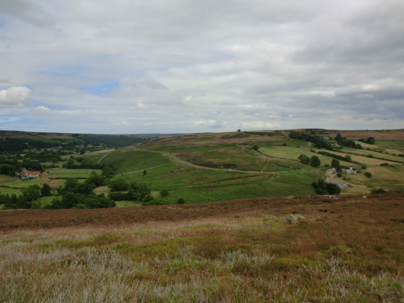
The monument includes the earthwork and buried remains of a prehistoric
cairnfield and round barrow cemetery located on a south westerly facing hill
spur projecting from the northern end of Castleton Rigg. It does not include
the more dispersed remains of early field systems that lie to the west, north
and east. Another concentration of cairns, Gallow Howe cairnfield, which lies
650m to the east, which is the subject of a separate scheduling.
The monument includes seven stone and earth mounds over 4m in diameter
interspersed with a number of smaller mounds. On the eastern side of the
monument there are two pairs of mounds that are interpreted as round barrows,
a type of prehistoric burial mound. These four mounds form an approximate
north to south line. The southernmost barrow is the largest at 8m in diameter,
standing 0.5m high. The second, approximately 10m to the north, is 7m in
diameter and of the same height. The third, about 40m further north, is
4m-5m in diameter and 0.4m high, but is well rounded and very regular in shape
with a hint of an encircling ditch. The last barrow, which is just downslope,
10m to the north, is larger, over 5m in diameter and also approximately 0.4m
high.
In the south western part of the monument there is a triangle of mounds, of
which the northern two were marked on early Ordnance Survey maps as tumuli or
burial mounds. These are much more irregular in shape compared with the four
mounds already described and are now interpreted as clearance cairns,
prehistoric mounds formed from stones cleared from arable fields. The
westernmost one of the group is roughly circular, 7m in diameter and 0.4m
high, with a distinct central hollow. The second cairn lies 45m ESE and is
very irregular in form, 7m across its longest axis and standing up to 0.4m
high. The third cairn is lower, 0.3m high and only 4.5m across. It lies
approximately 30m SSW of the first cairn. There are a number of additional
smaller cairns spread across the area, some of which can be seen on an oblique
aerial photograph of the monument. These are typically only 0.2m-0.3m high,
2m-3m in diameter and are difficult to locate under the vegetation.
MAP EXTRACT
The site of the monument is shown on the attached map extract.
Source: Historic England
Cairnfields are concentrations of cairns sited in close proximity to one
another. They often consist largely of clearance cairns, built with stone
cleared from the surrounding landsurface to improve its use for agriculture,
and on occasion their distribution pattern can be seen to define field plots.
However, funerary cairns are also frequently incorporated, although without
excavation it may be impossible to determine which cairns contain burials.
Clearance cairns were constructed from the Neolithic period (from c.3400 BC),
although the majority of examples appear to be the result of field clearance
which began during the earlier Bronze Age and continued into the later Bronze
Age (2000-700 BC). The considerable longevity and variation in the size,
content and associations of cairnfields provide important information on the
development of land use and agricultural practices. Cairnfields also retain
information on the diversity of beliefs and social organisation during the
prehistoric period.
Round barrow cemeteries date to the Bronze Age. They comprise of closely
spaced groups of up to 30 barrows - rubble and earth mounds covering single or
multiple burials. Most cemeteries developed over a considerable period of
time, often many centuries, and in some cases acted as a focus for burials as
late as the early medieval period. They exhibit a considerable diversity of
burial rite, plan and form, frequently including several different types of
round barrow. Where large scale investigations have taken place, contemporary
or later `flat' burials between the barrows have often been found. Often
occupying prominent locations, they are a major historic element in the modern
landscape, whilst their diversity and their longevity as a monument type
provide important information on the variety of beliefs and social
organisation amongst early prehistoric communities. They are particularly
representative of their period and a substantial proportion of surviving or
partly surviving examples are considered worthy of protection.
Carr House cairnfield is part of the prehistoric field system which is
believed to have originally covered much of Castleton Rigg. Both the cairns
and barrows will overlie and preserve prehistoric soil horizons which will
provide information about the local environment. The monument's importance is
heightened by the survival of another group of cairns uphill and
650m to the east. This group, Gallow Howe cairnfield, is the subject of a
separate scheduling.
Source: Historic England
Other
Oblique held by National Park SMR, ANY 66/33,
Walkover survey record in NP SMR, White, R, (1989)
Walkover survey record in NP SMR, White, R, (1989)
Source: Historic England
Other nearby scheduled monuments