Approximate Location Map
Large Map »
This site is entirely user-supported. See how you can help.
Latitude: 54.3721 / 54°22'19"N
Longitude: -0.7232 / 0°43'23"W
OS Eastings: 483042.684424
OS Northings: 498154.677989
OS Grid: SE830981
Mapcode National: GBR RKDW.7G
Mapcode Global: WHF9B.VCSL
Entry Name: Simon Howe: a round cairn on Goathland Moor, two associated round barrows, a standing stone and a stone alignment
Scheduled Date: 18 June 1968
Last Amended: 15 April 2004
Source: Historic England
Source ID: 1021297
English Heritage Legacy ID: 35919
County: North Yorkshire
Civil Parish: Goathland
Traditional County: Yorkshire
Lieutenancy Area (Ceremonial County): North Yorkshire
Church of England Parish: Goathland St Mary
Church of England Diocese: York
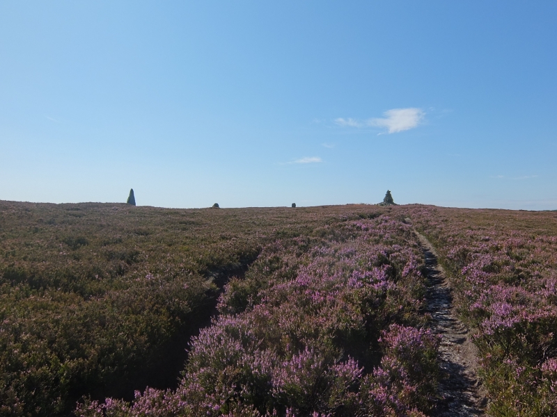
The monument includes a round cairn, known as Simon Howe, which occupies a
prominent ridge-top position on Simon Howe Rigg. Also included are two
round barrows and a stone alignment, which are adjacent to Simon Howe and
associated with it, and the site of extensive flint scatters which
surrounds the earthworks. The monument lies on an isolated ridge of Upper
Jurassic sandstone which is surrounded by Middle Jurassic sandstone and is
situated on the North York Moors.
Simon Howe has a low sub-circular mound constructed from stone, which
measures 17m-19m in diameter and stands up to 0.6m high. A kerb of stones
projects from the surface of the mound 3m-4m from its edge. These are flat
slabs of sandstone set into a circle with an internal diameter of 10m-11m.
The slabs are 0.3m-1m wide and 0.2m-0.3m thick. They lean outwards and
stand up to 0.6m high above the surface of the mound. Some of the stones
have become buried over the years, or taken away, especially on the
western side of the cairn, but fifteen are still in position and another
two lie fallen next to their original positions. Within the circle in the
centre of the mound there is a depression which has been left by partial
excavation in the past. There is a large modern walkers' cairn partly
filling the depression and a further modern dry-stone structure in a
crescent-shape against the inner face of the kerb on the south east side
of the mound. The cairn has become eroded by the footpaths which cross it,
including the route of the Lyke Wake Walk.
The two round barrows lie 80m to the NNE and 140m to the north east
respectively from Simon Howe. Both barrows have low earthen mounds. The
western mound measures 13m in diameter and stands up to 0.5m high. It has
an irregular surface. The eastern mound measures 15m in diameter and
stands 0.6m-0.8m high. The standing stone is located close to the south
western edge of the eastern barrow. It is oriented north west-south east,
measures 0.7m by 0.1m in section and stands 0.7m high.
The stone alignment lies to the north east of Simon Howe. It is visible as
four sandstone boulders which are regularly spaced 8m apart in a row; the
last stone at the southern end is 22m from the centre of Simon Howe. The
alignment runs approximately NNE-SSW, in a direction tangential to the
north western edge of Simon Howe and almost pointing towards the western
round barrow. The stones measure 0.2m-0.8m by 0.2m-0.4m in section. Two of
them, at the southern end of the row, are still upright, although one
leans slightly to the south east, but one of the others has almost fallen
and the other is completely recumbent. The earthfast stones are 0.9m-1.3m
high; the recumbent stone is 2.2m long, but formerly would have stood to a
similar height above the ground surface. Originally there was a fifth
stone in the line, between the surviving stones and Simon Howe, but this
has been removed. The socket in which this stone formerly had been set was
identified on the ground surface in 1947 after a severe moorland fire.
In the years between the 1947 moorland fire and the 1960s more than 2500
pieces of flint were collected from the exposed ground surface around
Simon Howe and towards the top of the north west facing slope to the
immediate north. These included finely-made tools such as arrowheads and
knives as well as the debris from tool manufacture, and they date from the
late Mesolithic period to the Bronze Age. The flints are evidence for the
repeated occupation of the site over a period of 5000 years or more,
reflecting the importance of the location within the landscape. This
evidence indicates that there are further buried remains within the area
from which the flints were recovered.
The monument is surrounded by many other prehistoric monuments, including
the remains of settlement and agriculture as well as further burials,
which are often located in prominent and highly visible locations in the
landscape.
MAP EXTRACT
The site of the monument is shown on the attached map extract.
Source: Historic England
Round cairns are prehistoric funerary monuments dating to the Bronze Age
(c.2000-700 BC). They were constructed as stone mounds covering single or
multiple burials. These burials may be placed within the mound in stone-lined
compartments called cists. In some cases the cairn was surrounded by a ditch.
Often occupying prominent locations, cairns are a major visual element in the
modern landscape. They are a relatively common feature of the uplands and are
the stone equivalent of the earthen round barrows of the lowlands. Their
considerable variation in form and longevity as a monument type provide
important information on the diversity of beliefs and social organisation
amongst early prehistoric communities. They are particularly representative of
their period and a substantial proportion of surviving examples are considered
worthy of protection.
Round barrows are funerary monuments dating from the Late Neolithic period
to the Late Bronze Age, with most examples belonging to the period
2400-1500 BC. They were constructed as earthen or rubble mounds,
sometimes ditched, which covered single or multiple burials. They occur
either in isolation or grouped as cemeteries and often acted as a focus
for burials in later periods. Often superficially similar, although
differing widely in size, they exhibit regional variations in form and a
diversity of burial practices. There are over 10,000 surviving examples
recorded nationally (many more have already been destroyed), occurring
across most of Britain, including the Wessex area where it is often
possible to classify them more closely, for example as bowl or bell
barrows. Often occupying prominent locations, they are a major historic
element in the modern landscape and their considerable variation of form
and longevity as a monument type provide important information on the
diversity of beliefs and social organisation amongst early prehistoric
communities. They are particularly representative of their period and a
substantial proportion of surviving examples are considered worthy of
protection.
Standing stones are prehistoric ritual or ceremonial monuments with dates
ranging from the Late Neolithic to the end of the Bronze Age for the few
excavated examples. They comprise single or paired upright orthostatic
slabs, ranging from under 1m to over 6m high where still erect. They are
often conspicuously sited and close to other contemporary monument
classes. They can be accompanied by various features: many occur in or on
the edges of round barrows, and where excavated, associated sub surface
features have included stone cists, stone settings, and various pits and
hollows filled in with earth containing human bone, cremations, charcoal,
flints and pottery. Similar deposits have been found in excavated sockets
for standing stones, which range considerably in depth. Standing stones
may have functioned as markers for routeways, territories, graves or
meeting points, but their accompanying features show that they also had a
ritual function and that they form one of several ritual monument classes
of their period which often contain deposits of cremation and domestic
debris as an integral part. No national survey of standing stones has been
undertaken, and estimates range from 50 to 250 extant examples, widely
distributed throughout England but with concentrations in Cornwall, the
North York Moors, Cumbria, Derbyshire and the Cotswolds. Standing stones
are important as nationally rare monuments, with a high longevity and
demonstrating the diversity of ritual practices in the Late Neolithic and
Bronze Age.
Stone alignments or stone rows consist of upright stones set in a single
line, or in two or more parallel lines, up to several hundred metres in
length. They are often sited close to prehistoric burial monuments, such
as small cairns and cists, and to ritual monuments, such as stone circles,
and are therefore considered to have had an important ceremonial function.
Stone alignments were being constructed and used from the Late Neolithic
period to the Middle Bronze Age (c.2500-1000 BC) and provide rare evidence
of ceremonial and ritual practices during these periods. Due to their
rarity and longevity as a monument type, all examples that are not
extensively damaged will be considered worthy of protection.
Simon Howe and the associated features within this monument are in a good
state of preservation, despite disturbance to the round cairn from
excavation in the past and modern erosion. The round cairn and barrows
will preserve significant information about their date and original form
and the burials placed within them. Unlike many barrows in the area, the
two round barrows do not appear to have been excavated previously and they
will, therefore, have undisturbed archaeological deposits in the centre
relating to the primary burials, which are less likely to survive in the
part-excavated examples. Evidence for earlier land use and the
contemporary environment will also survive beneath the mounds. The sockets
within which the standing stone and the stones of the alignment are set
will preserve evidence for the nature and date of the rituals associated
with their use.
The stone alignment is one of only a few which have been identified on the
North York Moors and the Simon Howe monument in which it lies is an
important and diverse group of features which adds significantly to our
knowledge of prehistoric ritual and funerary practice. The relationships
between the different components of the group will provide important
evidence for the sequence of development of the monument and insight into
the nature of prehistoric belief. The wider area around the upstanding
features, from which the flint collections were made, is considered to
have a high potential for the survival of further buried remains. These
will provide additional information on the nature and duration of
prehistoric occupation at this site, which is known to have begun at least
6000 years ago. This evidence is important because it provides a link
between the upstanding features and the earlier periods of occupation and
it will contribute greatly to our understanding of the processes through
which prominent places in the landscape were endowed with a particular
significance which endured over a long time period.
Source: Historic England
Books and journals
Bradley, R, The Significance of Monuments, (1998), 132-146
Hayes, R H, North-East Yorkshire Studies: Archaeological Papers, (1988), 16-19
Hayes, R H, North-East Yorkshire Studies: Archaeological Papers, (1988), 15-19
Hind, D, Goathland Moor Monument Survey, (1996)
Other
7779.01 and 7779.02,
7779.03,
7779.0401,
Pacitto, A L, AM107, (1985)
Pacitto, A L, AM107, (1989)
Source: Historic England
Other nearby scheduled monuments