Approximate Location Map
Large Map »
This site is entirely user-supported. See how you can help.
Latitude: 51.149 / 51°8'56"N
Longitude: -1.4743 / 1°28'27"W
OS Eastings: 436866.5932
OS Northings: 138994.2604
OS Grid: SU368389
Mapcode National: GBR 73C.S4J
Mapcode Global: VHC35.DDG0
Entry Name: Field system on Hazel Down 850m north of Hazeldown Farm
Scheduled Date: 24 September 1953
Last Amended: 14 March 2000
Source: Historic England
Source ID: 1017316
English Heritage Legacy ID: 33851
County: Hampshire
Civil Parish: Longstock
Traditional County: Hampshire
Lieutenancy Area (Ceremonial County): Hampshire
Church of England Parish: Longstock St Mary
Church of England Diocese: Winchester
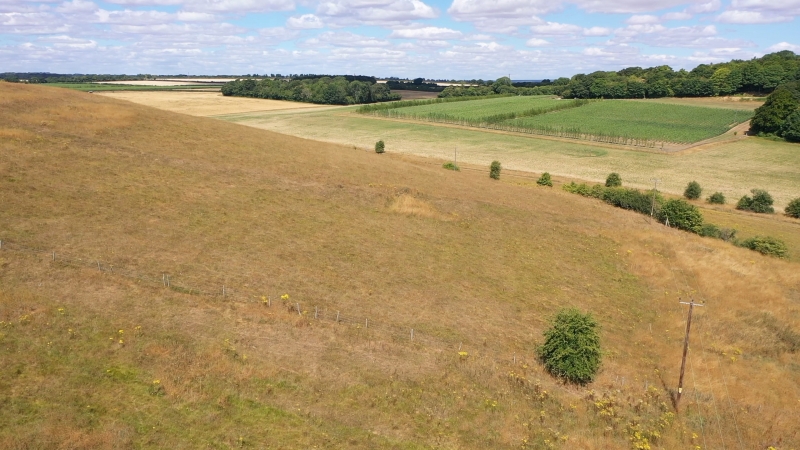
The monument includes the surviving part of an Iron Age and Romano-British
field system lying on the steep northern slopes of Hazel Down, 850m north
of Hazeldown Farm.
The field system comprises a series of rectangular fields, between 0.2ha and
0.6ha in overall size. The individual fields are defined by lynchets running
along the contours, up to 3m high, and by field banks up to 2m high, running
down the slope. A trackway defined by two lynchets runs up the slope between
lynchets at the eastern end of the site. A section of a similar double lynchet
track can be seen on aerial photographs running along the top of the slope
further west.
On the level hilltop are a series of shallow circular depressions up to 8m in
diameter. Prehistoric and Romano-British pottery occurs in dark soils
associated with these depressions, which are interpreted as hut platforms
representing an area of settlement associated with the field system.
The monument is part of a more extensive field system covering an area of
about 2.5km, extending to the west and south. However, to the south, on more
level ground, the individual field elements lack cohesion, and to the west the
fields have been levelled by ploughing and are no longer visible on the
surface. These areas are therefore not included in the scheduling.
All fence posts, telegraph poles and drinking troughs are excluded from the
scheduling, although the ground beneath them is included.
MAP EXTRACT
The site of the monument is shown on the attached map extract.
Source: Historic England
Regular aggregate field systems date from the Bronze Age (2000-700 BC) to the
end of the fifth century AD. They usually cover areas of up to 100ha and
comprise a discrete block of fields orientated in roughly the same direction,
with the field boundaries laid out along two axes set at right angles to one
another. Individual fields generally fall within the 0.1ha-3.2ha range and can
be square, rectangular, long and narrow, triangular or polygonal in shape. The
field boundaries can take various forms (including drystone walls or reaves,
orthostats, earth and rubble banks, pit alignments, ditches, fences and
lynchets) and follow straight or sinuous courses. Component features common to
most systems include entrances and trackways, and the settlements or
farmsteads from which people utilised the fields over the years have been
identified in some cases. These are usually situated close to or within the
field system.
The development of field systems is seen as a response to the competition for
land which began during the later prehistoric period. The majority are thought
to have been used mainly for crop production, evidenced by the common
occurrence of lynchets resulting from frequent ploughing, although rotation
may also have been practised in a mixed farming economy. Regular aggregate
field systems occur widely and have been recorded in south western and south
eastern England, East Anglia, Cheshire, Cumbria, Nottinghamshire, North and
South Yorkshire and Durham. They represent a coherent economic unit often
utilised for long periods of time and can thus provide important information
about developments in agricultural practices in a particular location and
broader patterns of social, cultural and environmental change over several
centuries. Those which survive well and/or which can be positively linked to
associated settlements are considered to merit protection.
The field system on Hazel Down 850m north of Hazeldown Farm is a well
preserved example of its class. It will contain archaeological deposits
providing information about Iron Age and Romano-British settlement, economy
and environment.
Source: Historic England
Other nearby scheduled monuments