Approximate Location Map
Large Map »
This site is entirely user-supported. See how you can help.
Latitude: 54.4931 / 54°29'35"N
Longitude: -0.9157 / 0°54'56"W
OS Eastings: 470327.274141
OS Northings: 511403.334974
OS Grid: NZ703114
Mapcode National: GBR QJ1H.J3
Mapcode Global: WHF8N.XB3C
Entry Name: Cross dyke on Gerrick Moor, 690m north west of Black Beck Swang
Scheduled Date: 19 March 1999
Source: Historic England
Source ID: 1016992
English Heritage Legacy ID: 32000
County: Redcar and Cleveland
Civil Parish: Lockwood
Traditional County: Yorkshire
Lieutenancy Area (Ceremonial County): North Yorkshire
Church of England Parish: Moorsholm
Church of England Diocese: York
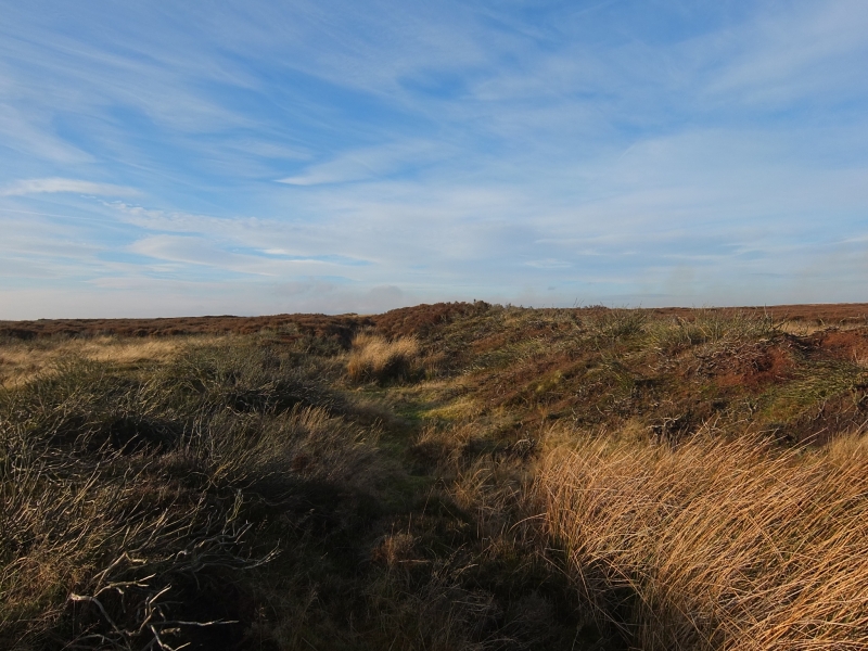
The monument includes a cross dyke which runs across a ridge on the north edge
of the North York Moors. It is 280m long and runs north west to south east
between two stream heads, defining a promontory on the ridge to the north. The
cross dyke has a ditch with a wide `V'-shaped profile which is up to 3m wide
and 1m deep. On the north side of the ditch there is a bank up to 4m wide and
0.7m high which was constructed from material excavated from the ditch. The
cross dyke lies in an area rich in prehistoric remains, particularly funerary
monuments.
There are four breaks in the cross dyke and numerous tank tracks in the base
of the ditch caused by military activity during World War II. Passing
through two of the breaks there are trackways running in a north to south
direction, one of which is a public bridleway. At the north west end, a ditch
has been cut through the cross dyke to divert water northwards from Gerrick
Spring.
The cross dyke lies in an area rich in prehistoric monuments, including round
barrows, field systems and clearance cairns.
MAP EXTRACT
The site of the monument is shown on the attached map extract.
It includes a 2 metre boundary around the archaeological features,
considered to be essential for the monument's support and preservation.
Source: Historic England
Cross dykes are substantial linear earthworks typically between 0.2km and 1km
long and comprising one or more ditches arranged beside and parallel to one or
more banks. They generally occur in upland situations, running across ridges
and spurs. They are recognised as earthworks or as cropmarks on aerial
photographs, or as combinations of both. The evidence of excavation and
analogy with associated monuments demonstrates that their construction spans
the millennium from the Middle Bronze Age, although they may have been re-used
later. Current information favours the view that they were used as territorial
boundary markers, probably demarcating land allotment within communities,
although they may also have been used as trackways, cattle droveways or
defensive earthworks. Cross dykes are one of the few monument types which
illustrate how land was divided up in the prehistoric period. They are of
considerable importance for any analysis of settlement and land use in the
Bronze Age. Very few have survived to the present day and hence all well-
preserved examples are considered to be of national importance.
Despite World War II military disturbance, the cross dyke on Gerrick Moor has
survived well. Important environmental evidence which can be used to date the
cross dyke and determine contemporary land use will be preserved within the
lowest ditch fills. Evidence for earlier land use will be preserved in the old
ground surface beneath the bank. The cross dyke is one of several in the north
part of the North York Moors which are associated with other prehistoric
monuments, including barrows and field systems, and are thought to represent
territorial boundaries. Similar groups of cross dykes are known in the west
and south east areas of the North York Moors. Such groupings offer important
scope for the study of land division for social, ritual and agricultural
purposes during the prehistoric period.
Source: Historic England
Books and journals
Spratt, D A , 'Prehistoric and Roman Archaeology in North East Yorkshire' in Prehistoric and Roman Archaeology of North East Yorkshire, , Vol. 87, (1993)
Vyner, B E, 'CBA Research Report 101: Moorland Monuments' in The Brides Of Place: Cross-Ridge Boundaries Reviewed, , Vol. 101, (1995)
Source: Historic England
Other nearby scheduled monuments