Approximate Location Map
Large Map »
This site is entirely user-supported. See how you can help.
Latitude: 51.8917 / 51°53'30"N
Longitude: -3.0274 / 3°1'38"W
OS Eastings: 329396
OS Northings: 221956
OS Grid: SO293219
Mapcode National: GBR F5.R1NV
Mapcode Global: VH78T.GQX6
Entry Name: Twyn-y-Gaer Camp
Scheduled Date: 23 October 1956
Source: Cadw
Source ID: 2387
Cadw Legacy ID: MM148
Schedule Class: Defence
Category: Hillfort
Period: Prehistoric
County: Monmouthshire (Sir Fynwy)
Community: Crucorney (Crucornau Fawr)
Traditional County: Monmouthshire
The monument comprises the remains of a hillfort, which probably dates to the Iron Age period (c. 800 BC - AD 74, the Roman conquest of Wales). The hillfort is situated on a hilltop at the southern end of the Vale of Ewyas, on its S side. It occupies a commanding position, and lies in an area of open moorland. The ground slopes away steeply below it on all sides. The hillfort is oblong in plan and measures 250m E-W by 100m, and is divided into three by two N-S banks and ditches. Along the N side is a steep-sided bank 0.3m high on the inside and 4m high on the outside. The ditch is 2m wide, and the counterscarp bank 0.7-1m high. On the outside the bank merges with the steep natural slope. Towards the E end there is a causeway over the ditch and a corresponding hollow 1m deep in the bank above. The middle section of the N side, between the two cross banks, has a scarp 2.5-3m high, an outer ditch 1.7m wide and an outer bank 0.8m high. At the western end of the N side, beginning opposite the western-most cross bank, there is a similar scarp and ditch, and a short stretch of outer bank 1m high. The ditch and outer bank then stop. They begin again at the W end, where the defences are more massive: the main bank is 0.5m high on the inside and 3.5m high on the outside. Outside it is a 2m, wide ditch and an outer bank 1.2m high. The outer bank dwindles towards the southern end.
At the western end of the S side the main bank is c 0.3m high on the inside and 2.7m high on the outside. There is a gently sloping outer bank 1m high. Towards the E end the bank becomes lower - 1m high, and then in the SE corner steepens and becomes higher - 2.5m high. The outside edge of the ditch has a field wall 1m high revetting it, with a sloping bank outside it. This arrangement continues round the southern end of the E side, with the bank 4m high. In the middle of this side is an inturned entrance. This is 2.2m wide at its E end and 1.4m wide at its W end, and 11m long. The banks on either side are 2m high at the E end and 0.6m high at the W end, and are 2m wide with flat tops. Outside it, on the S side, is a short stretch of bank 1m high. On the N side the inner bank is 0.3m high on the inside and 3m high on the outside. Outside this is a bank 1.5m high on the inside and 2.5m high on the outside. Outside this are a series of shallow hollows and a small intermittent bank 0.3m high, beyond which is a very steep natural slope.
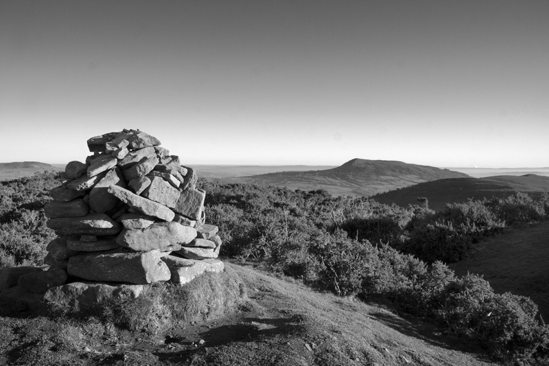
The easternmost cross bank and ditch run N-S, cutting the hillfort more or less in two equal parts. The bank, which joins the main bank around the fort at both ends, is 0.7m high on the W side and 1.7m high on the E side. On this side there is a ditch 2m wide and 1m deep. In the middle there is a causeway across the ditch and a shallow gap 3m wide. The second cross bank and ditch, to the W of the first, enclose a roughly circular area at the western end of the fort. Again, the bank joins the main bank at both ends. The bank is 0.5m high on the W and 1.8m high on the E. The ditch to the E is 1.5m wide and 0.7m deep, with bare rock showing in places in its outer side. In the middle the bank is 2.2m high and the ditch is 1m deep. In the middle there is a causeway across the ditch and a corresponding gap in the bank 2m wide and 1m deep. There is a small cairn of small stones on top of the bank to the N of the entrance. The banks are slightly inturned towards the W at the entrance. The interior of the fort is slightly convex, with little sign of any features.
The monument is of national importance for its potential to enhance our knowledge of later prehistoric defensive organisation and settlement. The site forms an important element within the wider later prehistoric context and within the surrounding landscape. The site is well preserved and retains considerable archaeological potential. There is a strong probability of the presence of evidence relating to chronology, building techniques and functional detail.
The scheduled area comprises the remains described and areas around them within which related evidence may be expected to survive.
Source: Cadw
Other nearby scheduled monuments