Approximate Location Map
Large Map »
This site is entirely user-supported. See how you can help.
Latitude: 51.6039 / 51°36'13"N
Longitude: -3.3011 / 3°18'3"W
OS Eastings: 309987
OS Northings: 190248
OS Grid: ST099902
Mapcode National: GBR HS.B0CY
Mapcode Global: VH6DK.QYPC
Entry Name: Cross Ridge Dyke & Earthwork on Cefn Eglwysilan
Scheduled Date: 4 March 1994
Source: Cadw
Source ID: 387
Cadw Legacy ID: GM452
Schedule Class: Defence
Category: Cross Ridge Dyke
Period: Unknown
County: Rhondda, Cynon, Taff (Rhondda Cynon Taf)
Community: Pontypridd
Traditional County: Glamorgan
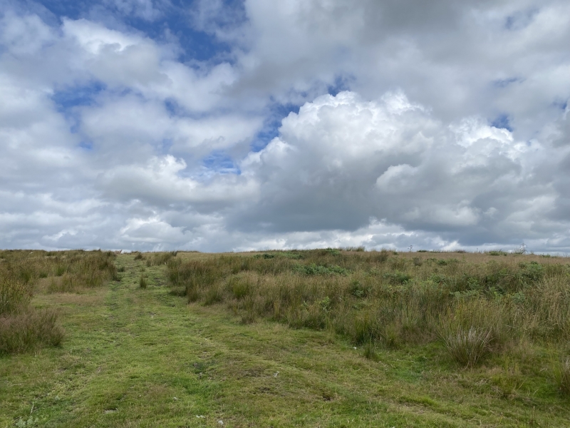
The monument comprises a linear bank and ditch running across an upland ridge. The tradition of cross ridge dyke building appears to roughly span a millennium, beginning in the middle Bronze Age and lasting throughout the Iron Age (although perhaps with reuse and perhaps limited construction in the medieval period). They have been interpreted as territorial boundaries, defining areas of political influence (including internal territorial boundaries and land allotment within communities) and perhaps have ritual associations.
The dyke runs c. 520m across moorland in a west-south-west by east-north-east direction. Its western end rests on a steep slope, its eastern end on the head of a stream gully. The ditch lies to the north with the bank in the south, measuring approx. 5.2m wide by 0.8m high.
The monument is of national importance for its potential to enhance our knowledge of prehistoric land division and perhaps ritual practices. The monument is an important relic of a prehistoric landscape and retains significant archaeological potential, with a strong probability of the presence of environmental and structural evidence.
The scheduled area comprises the remains described and areas around them within which related evidence may be expected to survive.
Source: Cadw
Other nearby scheduled monuments