Approximate Location Map
Large Map »
This site is entirely user-supported. See how you can help.
Latitude: 52.0618 / 52°3'42"N
Longitude: -3.3738 / 3°22'25"W
OS Eastings: 305910
OS Northings: 241271
OS Grid: SO059412
Mapcode National: GBR YP.DCRF
Mapcode Global: VH6BD.GFRS
Entry Name: Castle Earthwork 200m S of Coed Caeau
Scheduled Date:
Source: Cadw
Source ID: 3360
Cadw Legacy ID: BR179
Schedule Class: Defence
Category: Ringwork
Period: Medieval
County: Powys
Community: Erwood (Errwd)
Traditional County: Brecknockshire
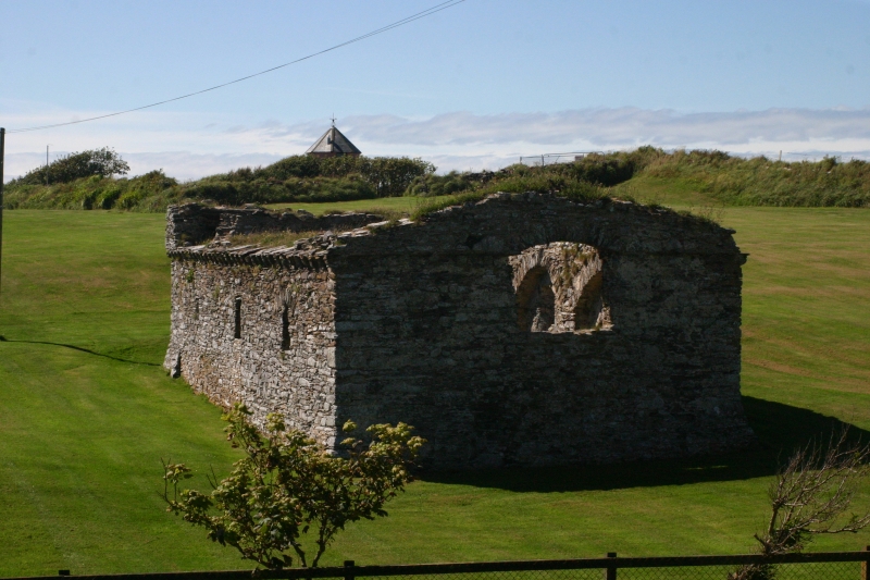
The monument consists of the remains of a castle ringwork, dating to the medieval period. The site comprises a sub-circular, univallate, enclosure measuring 85m in diameter. A V-shaped ditch, up to 4m deep encircles the site, with an outer bank, up to 1.25m high, visible around much of the circumference of the monument. A causeway crosses the ditch on the SE side, leading into the interior of the site which comprises a level platform 50m in diameter. The interior is enclosed by high banks to the N and S of the entrance which stand 6m above the base of the ditch and 2m high on the internal side. The northern internal bank extends for around 40 to the NNW, while the southern internal bank only extend for 20m. In the interior of the monument the ground is undulating which may be a result of erosion rather than an indication of internal features.
The monument is of national importance for its potential to enhance our knowledge of medieval defensive practices. The monument is well-preserved and an important relic of the medieval landscape. It retains significant archaeological potential, with a strong probability of the presence of both structural evidence and intact associated deposits.
The scheduled area comprises the remains described and areas around them within which related evidence may be expected to survive.
Source: Cadw
Other nearby scheduled monuments