Approximate Location Map
Large Map »
This site is entirely user-supported. See how you can help.
Latitude: 52.0482 / 52°2'53"N
Longitude: -4.6789 / 4°40'44"W
OS Eastings: 216394
OS Northings: 242251
OS Grid: SN163422
Mapcode National: GBR CZ.F02W
Mapcode Global: VH2MV.VS97
Entry Name: Castell Felin-Ganol
Scheduled Date: 16 June 1949
Source: Cadw
Source ID: 3642
Cadw Legacy ID: PE170
Schedule Class: Defence
Category: Promontory Fort - inland
Period: Prehistoric
County: Pembrokeshire (Sir Benfro)
Community: Cilgerran
Traditional County: Pembrokeshire
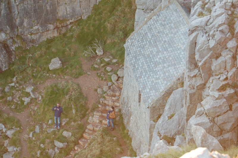
The monument comprises the remains of a defended enclosure, which probably dates to the Iron Age period (c. 800 BC - AD 74, the Roman conquest of Wales) and which is located on a promontory above the River Pilian and a tributary stream. It is naturally well protected to the south, west and northwest by steep natural scarps whilst the north east approach where the ground rises slightly is defended by a single bank ditch c.110m long. The bank stands up to 5m high and is revetted externally and internally by vertically-pitched slates, these may not be original, the ditch is rock cut and silted. The entrance is a simple gap approximately midway along the defence. The triangular-shaped internal area measures c.80m southwest to north east and 95m northwest to southeast.
The monument is of national importance for its potential to enhance our knowledge of later prehistoric defensive organisation and settlement. The site forms an important element within the wider later prehistoric context and within the surrounding landscape. The site is well preserved and retains considerable archaeological potential. There is a strong probability of the presence of evidence relating to chronology, building techniques and functional detail.
The scheduled area comprises the remains described and areas around them within which related evidence may be expected to survive.
Source: Cadw
Other nearby scheduled monuments