Approximate Location Map
Large Map »
This site is entirely user-supported. See how you can help.
Latitude: 56.2981 / 56°17'53"N
Longitude: -6.3546 / 6°21'16"W
OS Eastings: 130698
OS Northings: 720268
OS Grid: NM306202
Mapcode National: GBR BDP2.B3R
Mapcode Global: WGYD8.CY7N
Entry Name: Dun Aoidhean, Erraid, dun
Scheduled Date: 26 February 2003
Source: Historic Environment Scotland
Source ID: SM10670
Schedule Class: Cultural
Category: Prehistoric domestic and defensive: dun
Location: Kilfinichen and Kilvickeon
County: Argyll and Bute
Electoral Ward: Oban South and the Isles
Traditional County: Argyllshire
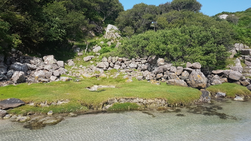
The monument comprises a dun visible as upstanding remains. Duns are fortified settlement sites of Iron Age date (around 500 BC to 500 AD). Dun Aoidhean occupies the summit of a rocky knoll at about 10m OD, situated at the NE corner of the tidal island of Erraid. The E side of the knoll is a sheer rock-face about 12.8m high, which decreases progressively to just over 3m on the W.
Traces of what has been a stout wall, now consisting of a light spread of rubble core-material with a few outer facing-stones still in position, can be seen around the western perimeter of the summit. No walling is visible around the eastern portion. The entrance to the dun probably lay within the gap in the rubble on the WSW. The interior of the dun, which is covered by a thick growth of heather, measures about 21m by 17m.
The area proposed for scheduling comprises the remains described and an area around them within which related material is likely to survive. It is irregular in shape and measures a maximum of 37m NE-SW by 31m NW-SE, as marked in red on the accompanying map.
Source: Historic Environment Scotland
The monument is of national importance because of its potential to contribute to an understanding of later prehistoric defended settlement and economy. Its importance is increased by its proximity to other monuments of potentially contemporary date.
Source: Historic Environment Scotland
Bibliography
RCAHMS records the monument as NM32SW 4.
References:
Betts U V G (1958) 'Dun Aoidhean, Isle of Earraid, Mull', DISCOVERY EXCAV SCOT, 9.
RCAHMS (1980a) ARGYLL: AN INVENTORY OF THE MONUMENTS VOLUME 3: MULL, TIREE, COLL AND NORTHERN ARGYLL (EXCLUDING THE EARLY MEDIEVAL AND LATER MONUMENTS OF IONA), Edinburgh: HMSO, 103-4, No. 192.
Source: Historic Environment Scotland
Other nearby scheduled monuments