Approximate Location Map
Large Map »
This site is entirely user-supported. See how you can help.
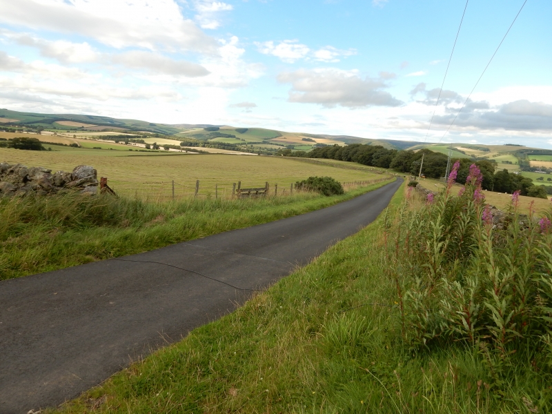
If Google Street View is available, the image is from the best available vantage point looking, if possible, towards the location of the monument. Where it is not available, the satellite view is shown instead.
Latitude: 55.7449 / 55°44'41"N
Longitude: -2.7854 / 2°47'7"W
OS Eastings: 350791
OS Northings: 650447
OS Grid: NT507504
Mapcode National: GBR 82Z0.RG
Mapcode Global: WH7VX.5VWR
Entry Name: Blackchester,fort
Scheduled Date: 29 June 1936
Source: Historic Environment Scotland
Source ID: SM364
Schedule Class: Cultural
Category: Prehistoric domestic and defensive: fort (includes hill and promontory fort)
Location: Lauder
County: Scottish Borders
Electoral Ward: Leaderdale and Melrose
Traditional County: Berwickshire
Bibliography
No Bibliography entries for this designation
Source: Historic Environment Scotland
Other nearby scheduled monuments