Approximate Location Map
Large Map »
This site is entirely user-supported. See how you can help.
Latitude: 57.1356 / 57°8'8"N
Longitude: -2.0632 / 2°3'47"W
OS Eastings: 396274
OS Northings: 804964
OS Grid: NJ962049
Mapcode National: GBR XS.8GJJ
Mapcode Global: WH9QR.8XS5
Entry Name: St Fittick's Church, Aberdeen
Scheduled Date: 30 October 2002
Source: Historic Environment Scotland
Source ID: SM10400
Schedule Class: Cultural
Category: Ecclesiastical: church
Location: Aberdeen
County: Aberdeen City
Electoral Ward: Torry/Ferryhill
Traditional County: Kincardineshire
The monument comprises the remains of St Fittick's Church and its graveyard, visible as an upstanding monument. St Fittick's Church lies on open ground, adjacent to Balnagask golf course, overlooking Nigg Bay, at a height of about 10.5m OD.
This former parish church of Nigg, founded between 1189 and 1199, was dedicated to St Fittick, which is said to be a corrupted form of St Fiacre (seventh century). The structure was reconstructed and enlarged in the eighteenth century before being abandoned in 1829, but parts of the walls date to the thirteenth century.
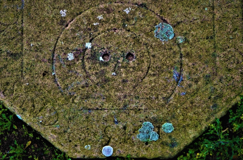
The fabric has been considerably restored. The wall heads have a modern capping and the wall faces have been almost entirely rendered, obscuring the architectural features. On the N side, an early doorway or opening is visible, partly obscured by the raised ground level.
Stone masonry is visible only around windows and doors, and on the internal face of the bell-cote (E) gable end where memorials have been attached to the wall and a chimney has been inserted. The graveyard is crowded largely with nineteenth-century graves.
The area proposed for scheduling comprises the remains described and an area around them within which related material may be expected to survive. It is almost square in shape, with maximum dimensions of 36m NNW-SSE by 36.5m transversely.
The area to be scheduled is demarcated by the boundary wall of the graveyard, as marked in red on the accompanying map. It excludes the annex to the NE containing twentieth-century graves. It also excludes the above-ground parts of the boundary wall to allow for routine maintenance.
Source: Historic Environment Scotland
The monument is of national importance because of its potential to contribute to an understanding of medieval and later ecclesiastical history and architecture.
Source: Historic Environment Scotland
Bibliography
RCAHMS records the monument as NJ 90 SE 1.
Bibliography:
Anderson, R. (1910) 'Aberdeen in bygone days: views of streets and building &c, with letterepress descriptions, Aberdeen, 49.
Anon (1901) The Book of St Fittick, 49.
Fraser, G. (1913) Antiquities of Aberdeen and neighbourhood, 10.
Ledingham, A. (1902) History of new and old Torry, 39.
Reid, R. W. (1912) Illustrated catalogue of the Anthropological Museum, Marischal College, University of Aberdeen, Aberdeen, 20.
Source: Historic Environment Scotland
Other nearby scheduled monuments