Approximate Location Map
Large Map »
This site is entirely user-supported. See how you can help.
Latitude: 57.5782 / 57°34'41"N
Longitude: -3.614 / 3°36'50"W
OS Eastings: 303577
OS Northings: 855383
OS Grid: NJ035553
Mapcode National: GBR K8FP.R6R
Mapcode Global: WH5HB.GS8C
Entry Name: Altyre,old parish church
Scheduled Date: 1 November 1993
Source: Historic Environment Scotland
Source ID: SM5809
Schedule Class: Cultural
Category: Ecclesiastical: church
Location: Rafford
County: Moray
Electoral Ward: Forres
Traditional County: Morayshire
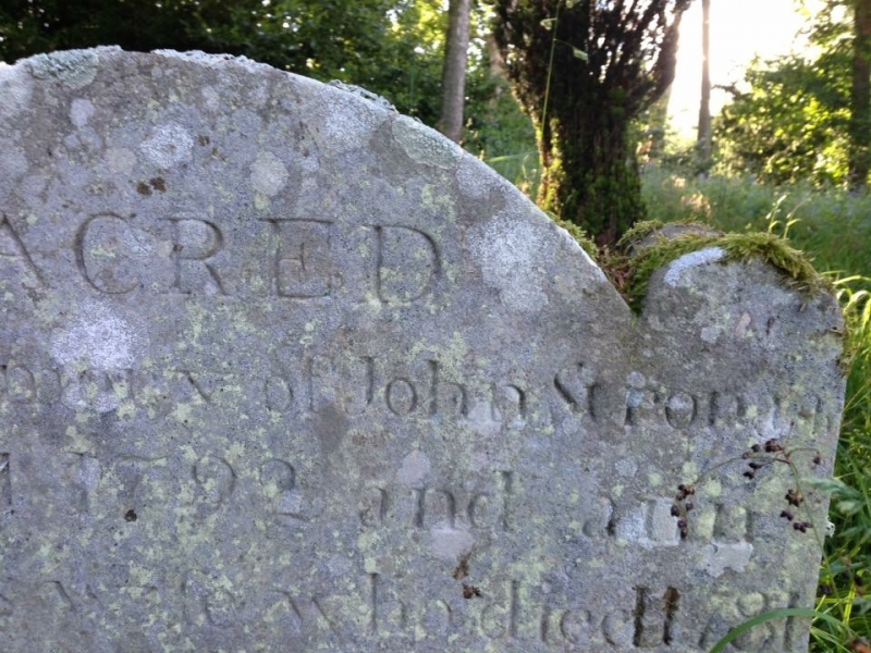
The monument consists of the remains of the old parish church of Altyre which date from the beginning of the 14th century. Mention of a chapel in use here in 1230 occurs in the Chartulary of Moray. The parish formerly belonged to the parsonage of Dallas, but was disjoined and subsequently added to Rafford about 1659. The centre of worship was the church located on the Altyre Estate. The estate has been owned by the Comyn (Cumming) family since at least the 14th century.
The simple rectangular-plan church is situated 800m NE of Altyre House on the E edge of the Auld Kirk Wood. Its dimensions are 18.65m E-W by 9m N-S overall with walls 0.9m thick. The N side is built on ground sloping away from the church and simple buttresses have been subsequently added to each end of the N wall for stability. The walls, of rubble with ashlar dressings, survive to full height. Two opposed shallow pointed-headed entrances open near the W end.
The N one has a draw-bar hole. Near the centre of the N elevation are two slim pointed-headed lancets, three more lancets light the E end of the S elevation. In the centre of the E gable is a broader window which formerly had simple Y tracery. Two central rectangular windows, one above the other, suggest that later alterations took place in the W gable. A table tomb for Robert Cumming of Logie is situated towards the E end.
The area to be scheduled is rectangular, extending 5m from the exterior walls of the church and measuring a maximum of 28.65m E-W by 19m N-S, as shown in red on the accompanying map.
Source: Historic Environment Scotland
The monument is of national importance as a well preserved example of a medieval church which contributes to our understanding of the development of parish church architecture in the 14th century and has the potential, through structural survey, archaeological excavation and comparative study, to contribute further to our understanding of material culture, liturgy, burial practices, and ecclesiastical history in Scotland before the Reformation.
Source: Historic Environment Scotland
Bibliography
RCAHMS records the monument as NJ 05 NW 32.
Source: Historic Environment Scotland
Other nearby scheduled monuments