Approximate Location Map
Large Map »
This site is entirely user-supported. See how you can help.
Latitude: 52.9142 / 52°54'51"N
Longitude: -3.0302 / 3°1'48"W
OS Eastings: 330818.523721
OS Northings: 335691.779166
OS Grid: SJ308356
Mapcode National: GBR 74.NGFJ
Mapcode Global: WH89Q.F08R
Entry Name: Wat's Dyke, 490m long section, immediately north and south of Preeshenelle Bridge
Scheduled Date: 4 February 1937
Last Amended: 24 April 2002
Source: Historic England
Source ID: 1020615
English Heritage Legacy ID: 33872
County: Shropshire
Civil Parish: Selattyn and Gobowen
Traditional County: Shropshire
Lieutenancy Area (Ceremonial County): Shropshire
Church of England Parish: Gobowen All Saints
Church of England Diocese: Lichfield
The monument includes the earthwork and buried remains of part of the
boundary known as Wat's Dyke. This section is 490m long and is in two
areas of protection, separated by the Shropshire Union Canal. The Dyke
consists of a steep-sided bank, up to 2m high, with a ditch to the west.
In the area to the south of the canal there is a trackway running along
the line of the ditch with a modern drainage ditch on its western edge. At
the north end of this section a canal bridge has been constructed, making
use of the bank for its abutments on each side of the canal, interrupting
the course of the Dyke for about 8m. In the area north of the canal, the
Dyke continues for 40m as a well-defined bank, up to 2.5m high, and ditch,
up to 4m wide, before becoming a vestigial bank reused as a field
boundary. This section terminates at the farm track and brook beside it
130m south of Esgob Mill. To the north and south of this section there are
further sections of Wat's Dyke which are the subject of separate
schedulings.
All fence posts, stiles, the brick and stonework of the canal bridge,
canal banks and towpath, are excluded from the scheduling, although the
ground beneath these features is included.
MAP EXTRACT
The site of the monument is shown on the attached map extract.
Source: Historic England
Wat's Dyke is a linear earthwork boundary and defensive rampart. It runs
for about 60km from Basingwerk, on the Dee estuary, southwards to
Maesbury, near Oswestry. It consists of a large ditch, 5m wide and 2m
deep, with a bank on the eastern side. The bank is 10m wide at the base,
on average, and its original height was about 2.5m. Wat's Dyke runs
roughly parallel to Offa's Dyke which lies to the west, sometimes only
500m away. Both dykes run along the borders between England and Wales, and
it is clear that both dykes were constructed to defend land on the eastern
side from incursions coming from the west. The earthwork bank and ditch
ran without interruption except where the course of a stream or river cut
through it. The date of construction has not been accurately determined,
but it is considered that it was built at an earlier date than the
parallel 8th century Offa's Dyke, although it fulfilled the same purpose.
The Dyke forms a boundary between lands firmly in control of the
Anglo-Saxon overlords and lands more recently taken from the native
Britains of this area by the English. Subsequently land to the west of the
Dyke became part of what is now known as Wales. The line of the Dyke has
been shown to mark a division between hidated (assessed for taxation on
the basis of the Anglo-Saxon units known as `hides') and unhidated lands
(land under a different system of government) at the time of the Domesday
records. This suggests that the Dyke was constructed before the `hide'
system was put into practice during the reign of King Offa of Mercia. The
Dyke was probably built during the period of expansion of the kingdom of
Mercia, before the accession of Offa, possibly during the reign of
Aethelbald (AD 716-757).
All known lengths of Wat's Dyke where significant archaeological deposits
are likely to survive are considered to be nationally important.
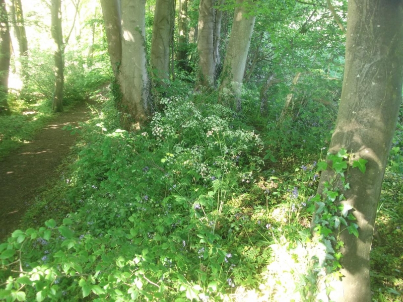
This 490m long section of Wat's Dyke immediately north and south of
Preeshenlle Bridge, survives well and has a high public profile since a
footpath follows the line of the remains. It will provide a source for
recreational enjoyment and educational interest for the community. Soils
buried beneath the bank and in the bottom of the infilled ditch will
provide evidence for the construction of the Dyke and the management of
the land at the time it was built.
Source: Historic England
Books and journals
Worthington, M, Wat's Dyke, (1993)
Source: Historic England
Other nearby scheduled monuments