Approximate Location Map
Large Map »
This site is entirely user-supported. See how you can help.
Latitude: 52.6424 / 52°38'32"N
Longitude: -2.2762 / 2°16'34"W
OS Eastings: 381409.722299
OS Northings: 304993.592622
OS Grid: SJ814049
Mapcode National: GBR 07B.7CQ
Mapcode Global: WHBFJ.0VD5
Entry Name: Moated site 330m south west of Humphreston Hall
Scheduled Date: 16 October 1975
Last Amended: 3 July 2000
Source: Historic England
Source ID: 1019203
English Heritage Legacy ID: 33806
County: Shropshire
Civil Parish: Donington
Traditional County: Shropshire
Lieutenancy Area (Ceremonial County): Shropshire
Church of England Parish: Donington St Cuthbert
Church of England Diocese: Lichfield
The monument includes the earthwork and buried remains of a medieval moated
site situated on an east facing slope in an area of gently undulating land. It
lies 340m west of another moated site at Humphreston Hall, which is not
included in the scheduling.
The arms of the moat are between 12m and 18m wide and define a rectangular
island approximately 30m by 35m. Material excavated from the moat was used to
raise the eastern portion of the island in order to create a level platform.
Spoil from this operation was also used to form external banks along the
eastern and southern arms, approximately 9m and 12m wide respectively.
Archaeological investigations of the site were conducted in 1988 and 1990, and
included the partial excavation of the moat, which was then dry. These
investigations found that the moat had been created by cutting into the
natural clay and the underlying sandstone bedrock. The initial silt deposits
within the moat were waterlogged and contained sherds of pottery dating to the
13th and 14th centuries, together with pieces of wood. Large fragments of
worked stone were found in the southern arm indicating that the inner side of
the arm had been reinforced by a stone revetment. These layers were covered by
deposits of silt which were sealed by dumps of rubble, probably from the
construction of the modern arterial road which has modified the south western
corner of the moat. The excavations confirmed the existence of an original
causeway to the island, across the middle of the western arm. No excavation
took place on the island but a geophyical survey of the area, to locate the
buried structural features, was undertaken. The buried remains of a
rectangular building, about 25m long and 10m wide, with walls of stone or
timber, was located on the western side of the island. It appears to have been
subdivided into a series of rooms with a possible porch near to the causeway
across the moat.
The wooden fishing platforms, the paths around the moat, all wooden posts
including fence posts, and all ornamental garden features are excluded from
the scheduling, although the ground beneath these features is included.
MAP EXTRACT
The site of the monument is shown on the attached map extract.
Source: Historic England
Around 6,000 moated sites are known in England. They consist of wide ditches,
often or seasonally water-filled, partly or completely enclosing one or more
islands of dry ground on which stood domestic or religious buildings. In some
cases the islands were used for horticulture. The majority of moated sites
served as prestigious aristocratic and seigneurial residences with the
provision of a moat intended as a status symbol rather than a practical
military defence. The peak period during which moated sites were built was
between about 1250 and 1350 and by far the greatest concentration lies in
central and eastern parts of England. However, moated sites were built
throughout the medieval period, are widely scattered throughout England and
exhibit a high level of diversity in their forms and sizes. They form a
significant class of medieval monument and are important for the understanding
of the distribution of wealth and status in the countryside. Many examples
provide conditions favourable to the survival of organic remains.
The moated site 330m south west of Humphreston Hall is a well-preserved
example of this class of monument. The geophysical survey of the moated island
has helped to demonstrate the nature and extent of the structural remains that
survive here. These remains, the associated artefacts and organic remains will
provide valuable evidence about the occupation and social status of the site's
inhabitants. Partial excavation of the moat has indicated that waterlogged
organic remains survive and the pottery found gives an indication of the date
of occupation. Organic remains surviving in the buried ground surface under
the raised portion of the island and under the external banks will provide
information about the local environment and the use of the land before the
moated site was constructed.
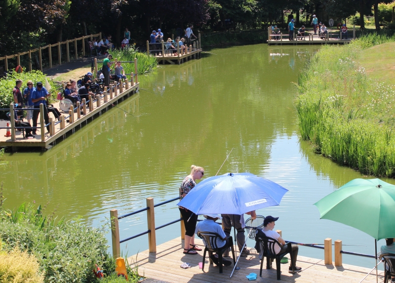
The monument has been developed as a public amenity for the disabled and is a
significant educational resource.
Source: Historic England
Books and journals
Cane, J, Excavations at Albrighton Moat, Shropshire, (1988)
Hughes, E G, Further excavations at Albrighton Moat, Shropshire, (1991)
Source: Historic England
Other nearby scheduled monuments