Approximate Location Map
Large Map »
This site is entirely user-supported. See how you can help.
Latitude: 51.0536 / 51°3'12"N
Longitude: -0.8297 / 0°49'46"W
OS Eastings: 482124.7937
OS Northings: 128899.6384
OS Grid: SU821288
Mapcode National: GBR DD0.T89
Mapcode Global: FRA 964B.JL6
Entry Name: Roman road at Chapel Common
Scheduled Date: 12 December 1996
Source: Historic England
Source ID: 1015236
English Heritage Legacy ID: 29243
County: West Sussex
Civil Parish: Milland
Traditional County: Sussex
Lieutenancy Area (Ceremonial County): West Sussex
Church of England Parish: Milland St Luke
Church of England Diocese: Chichester
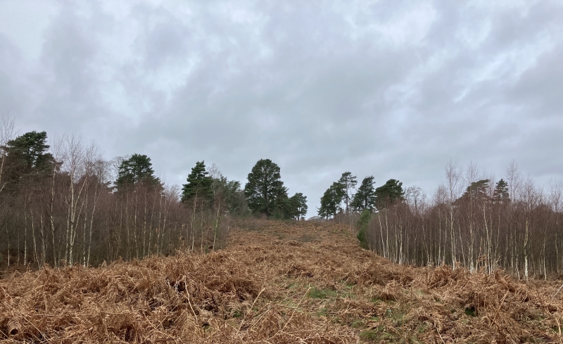
The monument includes part of a Roman road situated within an area of
sandstone heath and woodland just to the south of the West Sussex/Hampshire
border. The north west-south east aligned monument, which falls into three
areas, forms the best preserved section of a major road which ran northwards
from Chichester (Noviomagus) 24km to the south. Along most of its course the
monument survives as a cutting up to 16m wide and 0.5m deep, containing traces
of the original raised, cambered and ditched road surface. A c.40m long
section of the north western part of the monument crosses a shallow valley and
the road survives here as a battered (inward sloping) embankment up to 2.5m
high.
Part of the south eastern course of this part of the road was heavily
disturbed by the training activities of Canadian troops during World War II,
and this area is therefore not included in the scheduling. A short length of
the road between the central and northern sections of the scheduling has been
levelled by recent disturbance and is also not included in the scheduling.
MAP EXTRACT
The site of the monument is shown on the attached map extract.
It includes a 2 metre boundary around the archaeological features,
considered to be essential for the monument's support and preservation.
Source: Historic England
Roman roads were artificially made-up routes introduced to Britain by the
Roman army from c.AD 43. They facilitated both the conquest of the province
and its subsequent administration. Their main purpose was to serve the Cursus
Publicus, or Imperial mail service. Express messengers could travel up to 150
miles per day on the network of Roman roads throughout Britain and Europe,
changing horses at wayside 'mutationes' (posting stations set every 8 miles on
major roads) and stopping overnight at 'mansiones' (rest houses located every
20-25 miles). In addition, throughout the Roman period and later, Roman roads
acted as commercial routes and became foci for settlement and industry.
Mausolea were sometimes built flanking roads during the Roman period while, in
the Anglian and medieval periods, Roman roads often served as property
boundaries. Although a number of roads fell out of use soon after the
withdrawal of Rome from the province in the fifth century AD, many have
continued in use down to the present day and are consequently sealed beneath
modern roads.
On the basis of construction technique, two main types of Roman road are
distinguishable. The first has widely spaced boundary ditches and a broad
elaborate agger comprising several layers of graded materials. The second
usually has drainage ditches and a narrow simple agger of two or three
successive layers. In addition to ditches and construction pits flanking the
sides of the road, features of Roman roads can include central stone ribs,
kerbs and culverts, not all of which will necessarily be contemporary with the
original construction of the road. With the exception of the extreme south-
west of the country, Roman roads are widely distributed throughout England and
extend into Wales and lowland Scotland. They are highly representative of the
period of Roman administration and provide important evidence of Roman civil
engineering skills as well as the pattern of Roman conquest and settlement. A
high proportion of examples exhibiting good survival are considered to be
worthy of protection.
Despite some disturbance by tree roots, the three sections of Roman road at
Chapel Common survive well as visible features and will contain important
archaeological and environmental evidence relating to the exact form of the
monument and the landscape in which it was originally constructed and used.
Source: Historic England
Books and journals
Magary, I, 'Sussex Archaeological Collections' in Recent Discoveries by the Ordnance Survey of Roman Roads in Sussex, , Vol. 91, (1953), 3
Source: Historic England
Other nearby scheduled monuments