Approximate Location Map
Large Map »
This site is entirely user-supported. See how you can help.
Latitude: 50.6892 / 50°41'21"N
Longitude: -2.5994 / 2°35'57"W
OS Eastings: 357755.826322
OS Northings: 87895.722696
OS Grid: SY577878
Mapcode National: GBR PT.R615
Mapcode Global: FRA 57F8.54Y
Entry Name: Bowl barrow 800m north east of Gorwell Farm
Scheduled Date: 28 July 1995
Source: Historic England
Source ID: 1011988
English Heritage Legacy ID: 22925
County: Dorset
Civil Parish: Long Bredy
Traditional County: Dorset
Lieutenancy Area (Ceremonial County): Dorset
Church of England Parish: Long Bredy St Peter
Church of England Diocese: Salisbury
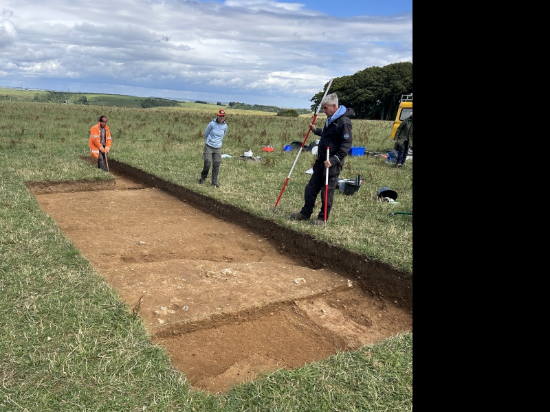
The monument includes a bowl barrow situated in the South Dorset Downs, on a
chalk ridge with views over dry valleys to the south and north.
The barrow was first recorded in 1959. It has a mound composed of earth and
chalk with a maximum diameter of 15m and a maximum height of c.0.5m. This is
surrounded by a ditch from which material was quarried during the construction
of the monument. The ditch is no longer visible at ground level, as it has
become infilled over the years, but survives as a buried feature c.2m wide.
The barrow is situated 75m to the north west of the Kingston Russell stone
circle, with which it is intervisible.
MAP EXTRACT
The site of the monument is shown on the attached map extract.
It includes a 2 metre boundary around the archaeological features,
considered to be essential for the monument's support and preservation.
Source: Historic England
Bowl barrows, the most numerous form of round barrow, are funerary monuments
dating from the Late Neolithic period to the Late Bronze Age, with most
examples belonging to the period 2400-1500 BC. They were constructed as
earthen or rubble mounds, sometimes ditched, which covered single or multiple
burials. They occur either in isolation or grouped as cemeteries and often
acted as a focus for burials in later periods. Often superficially similar,
although differing widely in size, they exhibit regional variations in form
and a diversity of burial practices. There are over 10,000 surviving bowl
barrows recorded nationally (many more have already been destroyed), occurring
across most of lowland Britain. Often occupying prominent locations, they are
a major historic element in the modern landscape and their considerable
variation of form and longevity as a monument type provide important
information on the diversity of beliefs and social organisations amongst early
prehistoric communities. They are particularly representative of their period
and a substantial proportion of surviving examples are considered worthy of
protection.
Despite some disturbance caused by cultivation, the bowl barrow 800m north
east of Gorwell Farm survives comparatively well and will contain
archaeological and environmental evidence relating to the monument and the
landscape in which it was constructed.
Source: Historic England
Books and journals
Grinsell, L V, 'Procs Dorset Natural History and Archaeological Soc.' in Dorset Barrows, (1959), 116
Source: Historic England
Other nearby scheduled monuments