Approximate Location Map
Large Map »
This site is entirely user-supported. See how you can help.
Latitude: 52.5972 / 52°35'49"N
Longitude: -1.0313 / 1°1'52"W
OS Eastings: 465711.208019
OS Northings: 300375.366897
OS Grid: SK657003
Mapcode National: GBR 9PH.432
Mapcode Global: WHFKQ.4Z59
Entry Name: Stretton Magna deserted village, two fishponds and moated site.
Scheduled Date: 20 October 1977
Last Amended: 20 February 1992
Source: Historic England
Source ID: 1010201
English Heritage Legacy ID: 17080
County: Leicestershire
Civil Parish: Little Stretton
Traditional County: Leicestershire
Lieutenancy Area (Ceremonial County): Leicestershire
Church of England Parish: Glen Magna St Cuthbert
Church of England Diocese: Leicester
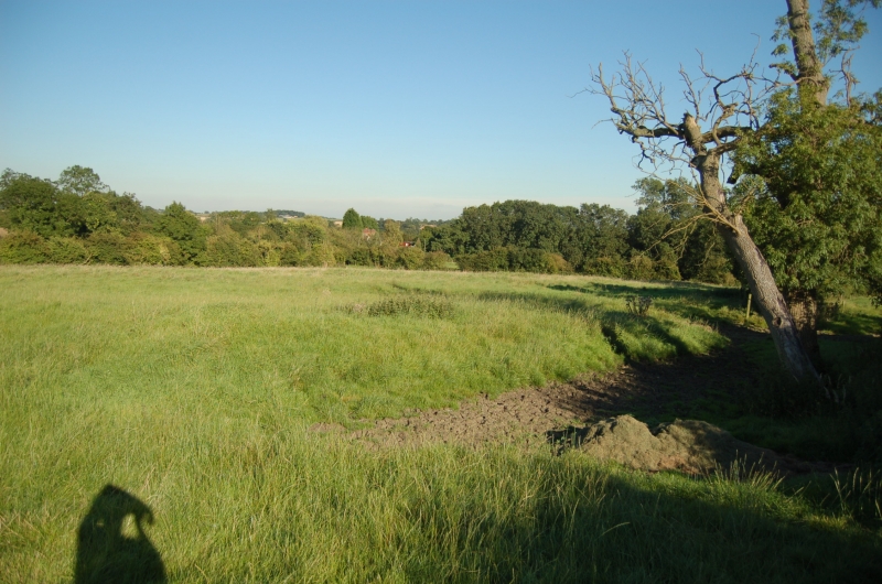
The monument at Stretton Magna is situated south of the Roman Gartree Road,
5km east of Leicester. It includes extensive earthworks of a deserted
medieval village with a moated site, two fishponds and part of the associated
field system, located around the medieval St Giles's Church.
The site occupies two large modern fields and covers an area measuring over
300m square. A series of hollow ways up to 0.75m deep denoting village
streets cross the site, the most prominent of which measures up to 10m wide
and leads from the east to the church. There are many small crofts and tofts
marked by house platforms and enclosures containing banks about 0.5 high and a
larger house platform measuring 25m square situated between the church and the
road. A boundary ditch runs west of the church, beyond which is medieval ridge
and furrow ploughing aligned in two directions which give an indication of the
cultivated strips and are thus an integral part of the monument. A manorial
complex is located to the south of the village, the major component of which
is a rectangular moated site. The moat measures 70 x 60m including an outer
bank on the eastern and southern sides and contains a ditch up to 2m deep and
10-12m wide. Situated to the north and south-east of the moat are two
fishponds. The northern fishpond is embanked and measures 35 x 12m and is
2-3m deep from the top of the banks. The second fishpond also measures 35 x
l2m but is not embanked and survives as a marshy area fed by a ditch coming
down from the north.
Stretton Magna, known as Great Stretton, is listed in Domesday book. In 1381
there were 21 taxed persons. Some enclosure took place shortly before 1500 by
Thomas Kebell but the major enclosure which led to depopulation was between
1640-70.
The church and its surrounding burial ground which remain in active use, are
not included in the scheduling.
MAP EXTRACT
The site of the monument is shown on the attached map extract.
Source: Historic England
The village, comprising a small group of houses, gardens, yards, streets,
paddocks, often with a green, a manor and a church, and with a community
devoted primarily to agriculture, was a significant component of the rural
landscape in most areas of medieval England, much as it is today. Villages
provided some services to the local community and acted as the main focal
point of ecclesiastical, and often of manorial, administration within each
parish. Although the sites of many of these villages have been occupied
continuously down to the present day, many others declined in size or were
abandoned throughout the medieval and post-medieval periods, particularly
during the 14th and 15th centuries. As a result over 2000 deserted medieval
villages are recorded nationally. The reasons for desertion were varied but
often reflected declining economic viability, changes in land use such as
enclosure or emparkment, or population fluctuations as a result of widespread
epidemics such as the Black Death. As a consequence of their abandonment
these villages are frequently undisturbed by later occupation and contain
well-preserved archaeological deposits. Because they are a common and
long-lived monument type in most parts of England, they provide important
information on the diversity of medieval settlement patterns and farming
economy between the regions and through time.
Also sometimes associated with deserted settlements are moated sites which
often served as prestigious manorial residences. Such moated sites form a
significant class of medieval monument and are important for the understanding
of the distribution of wealth and status in the countryside.
The village site at Stretton Magna is one of the best surviving examples of
its type in Leicestershire displaying a wide variety of features together with
a manorial complex. The date of desertion is also known, which will aid
further archaeological study.
Source: Historic England
Books and journals
Hoskins, W G, 'Transactions of the Leicestershire Arch & Historical Society' in Seven Deserted Village Sites in Leicestershire (Volume 32), , Vol. 32, (1956), 42-3
Source: Historic England
Other nearby scheduled monuments