Approximate Location Map
Large Map »
This site is entirely user-supported. See how you can help.
Latitude: 53.6302 / 53°37'48"N
Longitude: -2.5353 / 2°32'7"W
OS Eastings: 364694.793328
OS Northings: 414987.466659
OS Grid: SD646149
Mapcode National: GBR BVQG.XD
Mapcode Global: WH97M.00ZT
Entry Name: Round cairn on Noon Hill
Scheduled Date: 12 June 1959
Last Amended: 21 September 1994
Source: Historic England
Source ID: 1008905
English Heritage Legacy ID: 23708
County: Lancashire
Civil Parish: Rivington
Traditional County: Lancashire
Lieutenancy Area (Ceremonial County): Lancashire
Church of England Parish: Rivington
Church of England Diocese: Manchester
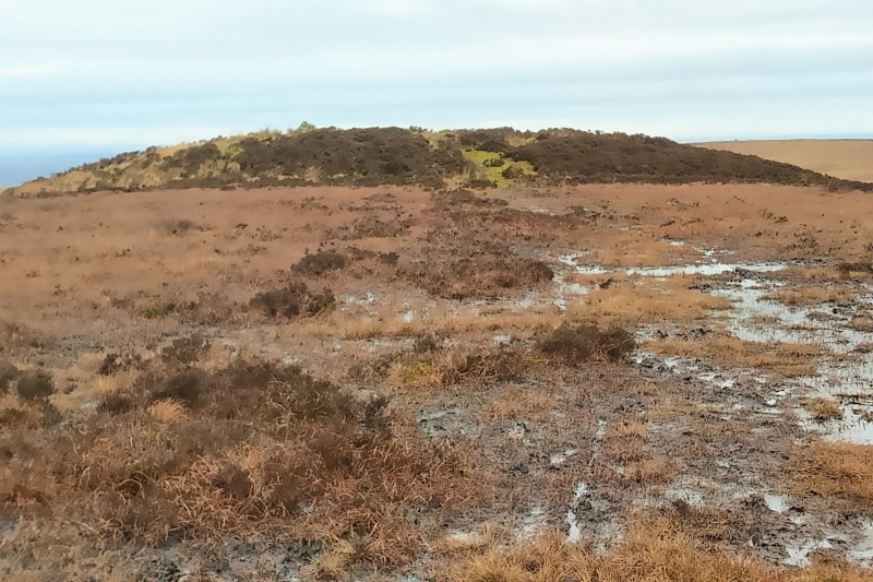
The monument includes a round cairn located on the northern edge of the summit
of Noon Hill. It includes a slightly oval mound of earth and stones up to 1.3m
high with maximum dimensions of 21m north-south by 19m east-west. On the
monument's southern edge there are three partially exposed gritstone boulders
which form part of the cairn's kerb. Limited excavation of the cairn in 1958
and again in 1963/4 located the primary burial at the monument's centre. This
comprised three cremations interpreted by the excavator as an adult male,
adult female, and a child, located beneath a collapsed enlarged food vessel
and inserted into a central stone cist. Three or four secondary cremations and
a number of flint tools including barbed and tanged arrowheads, scrapers and a
knife were also found during these excavations.
MAP EXTRACT
The site of the monument is shown on the attached map extract.
It includes a 2 metre boundary around the archaeological features,
considered to be essential for the monument's support and preservation.
Source: Historic England
Round cairns are prehistoric funerary monuments dating to the Bronze Age
(c.2000-700 BC). They were constructed as stone mounds covering single or
multiple burials. These burials may be placed within the mound in stone-lined
compartments called cists. In some cases the cairn was surrounded by a ditch.
Often occupying prominent locations, cairns are a major visual element in the
modern landscape. They are a relatively common feature of the uplands and are
the stone equivalent of the earthen round barrows of the lowlands. Their
considerable variation in form and longevity as a monument type provide
important information on the diversity of beliefs and social organisation
amongst early prehistoric communities. They are particularly representative of
their period and a substantial proportion of surviving examples are considered
worthy of protection.
Despite two limited excavations of the monument during the 1950s and 1960s,
the round cairn on Noon Hill survives reasonably well. These excavations
located human remains, flint tools and pottery, and further evidence of
interments and associated grave goods will exist within the cairn and upon the
old landsurface beneath.
Source: Historic England
Books and journals
Barnes, B, Man and the changing landscape, (1982), 102
Other
Darvill, T, MPP Single Monument Class Descriptions - Bowl Barrows, (1989)
SMR No. 134, Lancs SMR, Noon Hill, Rivington Moor, (1993)
Source: Historic England
Other nearby scheduled monuments