Approximate Location Map
Large Map »
This site is entirely user-supported. See how you can help.
Latitude: 53.6054 / 53°36'19"N
Longitude: -1.958 / 1°57'28"W
OS Eastings: 402873.317959
OS Northings: 412098.619246
OS Grid: SE028120
Mapcode National: GBR GVRR.W8
Mapcode Global: WHB90.WMSV
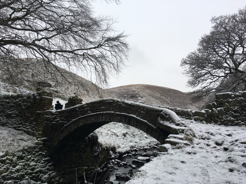
Entry Name: Close Gate Bridge
Scheduled Date:
Source: Historic England
Source ID: 1005797
English Heritage Legacy ID: WY 69
County: Kirklees
Electoral Ward/Division: Colne Valley
Traditional County: Yorkshire
Lieutenancy Area (Ceremonial County): West Yorkshire
Church of England Parish: Marsden St Bartholomew
Church of England Diocese: Leeds
This record has been generated from an "old county number" (OCN) scheduling record. These are monuments that were not reviewed under the Monuments Protection Programme and are some of our oldest designation records. As such they do not yet have the full descriptions of their modernised counterparts available. Please contact us if you would like further information.
Source: Historic England
Other nearby scheduled monuments