Approximate Location Map
Large Map »
This site is entirely user-supported. See how you can help.
Latitude: 51.7802 / 51°46'48"N
Longitude: -2.1265 / 2°7'35"W
OS Eastings: 391371.156525
OS Northings: 209070.018063
OS Grid: SO913090
Mapcode National: GBR 1M9.96B
Mapcode Global: VH94T.3J54
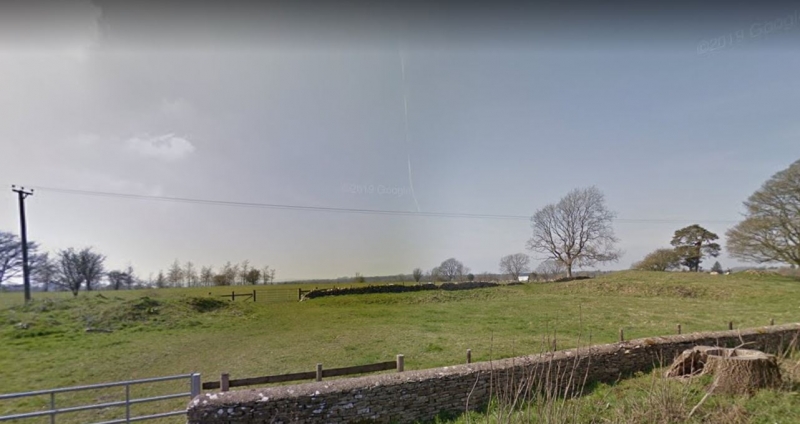
Entry Name: The Camp long barrow
Scheduled Date:
Source: Historic England
Source ID: 1002128
English Heritage Legacy ID: GC 6
County: Gloucestershire
Civil Parish: Miserden
Traditional County: Gloucestershire
Lieutenancy Area (Ceremonial County): Gloucestershire
Church of England Parish: Miserden St Andrew
Church of England Diocese: Gloucester
This record has been generated from an "old county number" (OCN) scheduling record. These are monuments that were not reviewed under the Monuments Protection Programme and are some of our oldest designation records. As such they do not yet have the full descriptions of their modernised counterparts available. Please contact us if you would like further information.
Source: Historic England
Other nearby scheduled monuments