Approximate Location Map
Large Map »
This site is entirely user-supported. See how you can help.
Latitude: 52.2744 / 52°16'27"N
Longitude: -3.0132 / 3°0'47"W
OS Eastings: 330963
OS Northings: 264508
OS Grid: SO309645
Mapcode National: GBR B5.YYMR
Mapcode Global: VH772.Q3D9
Entry Name: The Warden Mound & Bailey Castle
Scheduled Date:
Source: Cadw
Source ID: 1926
Cadw Legacy ID: RD052
Schedule Class: Defence
Category: Motte & Bailey
Period: Medieval
County: Powys
Community: Presteigne (Llanandras)
Built-Up Area: Presteigne
Traditional County: Radnorshire
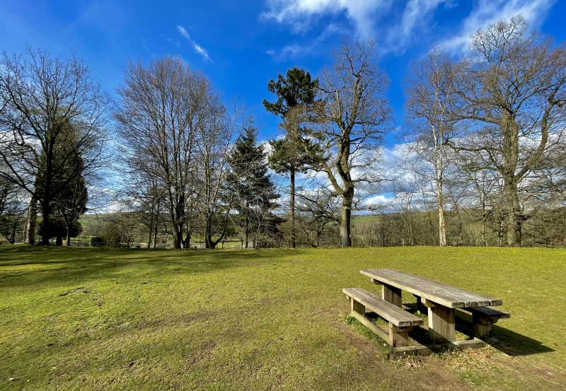
The monument comprises the remains of a motte and bailey castle, a military stronghold built during the medieval period. A motte and bailey castle comprises a large conical or pyramidal mound of soil or stone (the motte) surrounded by, or adjacent to, one or more embanked enclosures (the bailey). Both may be surrounded by wet or dry ditches and could be further strengthened with palisades, revetments, and/or a tower on top of the motte. The Warden stands on a rocky promontory commanding the valley of the Lugg, forming a pair with Stapleton Castle on the opposite side of the river. The motte is unusually large, measuring c.43m east-west by c.21m, and appears more like a ringwork, with a bank around its edge rising c.0.5m above the level interior on the west, north and east sides, and traces of an outer ditch on the west and north-east; along the south side there is only a scarp. Adjoining this structure, to its east, at a general level about 1.6m lower, is a sub-rectangular bailey area measuring c.42m west-south-west to east-north-east by c.35m internally, defined by scarps. The site is said to have been levelled by Llywelyn in 1262, but was again mentioned as 'castle ditch' in 1337; the whole area was landscaped in the 19th century.
The monument is of national importance for its potential to enhance our knowledge of medieval defensive organisation. The well-preserved monument forms an important element within the wider medieval context and the structure itself may be expected to contain archaeological information relating to chronology, building techniques and functional detail.
The scheduled area comprises the remains described and areas around them within which related evidence may be expected to survive.
Source: Cadw
Other nearby scheduled monuments