Approximate Location Map
Large Map »
This site is entirely user-supported. See how you can help.
Latitude: 52.2754 / 52°16'31"N
Longitude: -3.0032 / 3°0'11"W
OS Eastings: 331651.347872
OS Northings: 264615.691507
OS Grid: SO316646
Mapcode National: GBR B6.YTHH
Mapcode Global: VH772.W2QH
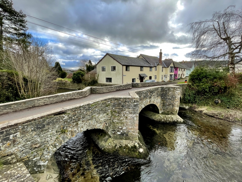
Entry Name: Lugg Bridge Also in Powys: Wales
Scheduled Date:
Source: Historic England
Source ID: 1005361
English Heritage Legacy ID: HE 142
County: Powys
Community: Presteigne (Llanandras)
Built-Up Area: Presteigne
Traditional County: Radnorshire
This record has been generated from an "old county number" (OCN) scheduling record. These are monuments that were not reviewed under the Monuments Protection Programme and are some of our oldest designation records. As such they do not yet have the full descriptions of their modernised counterparts available. Please contact us if you would like further information.
Source: Historic England
Other nearby scheduled monuments