Approximate Location Map
Large Map »
This site is entirely user-supported. See how you can help.
Latitude: 51.3957 / 51°23'44"N
Longitude: -3.1964 / 3°11'47"W
OS Eastings: 316860
OS Northings: 166972
OS Grid: ST168669
Mapcode National: GBR HX.R8PJ
Mapcode Global: VH6FS.K51X
Entry Name: Sully Island, "Danish" Fort
Scheduled Date:
Source: Cadw
Source ID: 226
Cadw Legacy ID: GM035
Schedule Class: Defence
Category: Hillfort
Period: Prehistoric
County: Vale of Glamorgan (Bro Morgannwg)
Community: Sully and Lavernock (Sili a Larnog)
Traditional County: Glamorgan
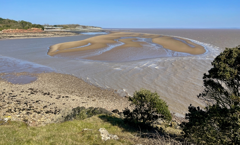
The monument comprises the remains of a promontory fort, which probably dates to the Iron Age period (c. 800 BC - AD 74, the Roman conquest of Wales).
The fort is situated at the east end of the small tidal island of Sully. It is a promontory fort unlike the large forts along the coast to the west in that it is small, with widely spaced ramparts. The outermost rampart, on the west, now appears as a scarp about 1.5m high with a slight external ditch; it runs north-south across the island which is here about 45m wide. The cliff which forms the northern boundary of the enclosure ends just outside this defence. 15m further east is the second bank, about 2.5m high externally and nearly 1m internally. It was accompanied by a ditch, now completely silted up but visible in the cliff face as a 3.5m wide and nearly 1m deep, with rubble against its inner scarp from a fallen revetment; the overall width of this defences seems to have been about 7.5 or 9m. The promontory continues at about the same width for another 80m, and then contracts suddenly to about 25m. This narrower projection is protected by a third rampart, appearing as a stony scarp nearly 2m high with a slight ditch in front; there is a gap 3m wide, perhaps an entrance, between its northern end and the cliff edge. The promontory continues for another 25m, narrowing slightly and with a south-easterly inclination. At its end is a low mound, perhaps a barrow, about 4.5m in diameter and nearly 1m high.
The monument is of national importance for its potential to enhance our knowledge of later prehistoric defensive organisation and settlement. The site forms an important element within the wider later prehistoric context and within the surrounding landscape. The site is well preserved and retains considerable archaeological potential. There is a strong probability of the presence of evidence relating to chronology, building techniques and functional detail.
The scheduled area comprises the remains described and areas around them within which related evidence may be expected to survive.
Source: Cadw
Other nearby scheduled monuments