Approximate Location Map
Large Map »
This site is entirely user-supported. See how you can help.
Latitude: 51.865 / 51°51'54"N
Longitude: -3.472 / 3°28'19"W
OS Eastings: 298739
OS Northings: 219519
OS Grid: SN987195
Mapcode National: GBR YK.SRDN
Mapcode Global: VH5FV.RDV3
Entry Name: Storey Arms Anti-invasion Defences
Scheduled Date: 3 November 2006
Source: Cadw
Source ID: 1180
Cadw Legacy ID: BR337
Schedule Class: Defence
Category: Infantry support trench
Period: Post Medieval/Modern
County: Powys
Community: Glyn Tarell
Traditional County: Brecknockshire
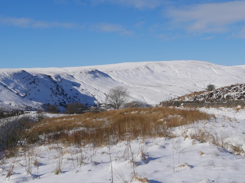
The monument consists of anti-invasion defences, dating to the early period of World War II (AD 1940-41), that formed part of a Western Command Stop Line, which ran from Storey Arms to Quakers Yard. The defences are located S of Storey Arms on either side of the A470 trunk road approximately 1km S of the pass summit, where the local topography forms a steep-sided, narrow and easily defended valley. The structures defend an upward position to the N. The defences consist of two pillboxes (Items 'B' and 'C'), an infantry support trench (Item 'A'), a slit trench (Item 'D') and two alignments of anti-tank blocks (Items 'E' and 'F').
The monument is of national importance for its potential to enhance our knowledge of World War II anti-invasion practices. The monument is well preserved and is an important relic of actions taken against the perceived threat of a German invasion from Ireland. It retains significant archaeological potential, with a strong probability of the presence of associated archaeological features and deposits.
The scheduled area comprises the remains described and an area around them within which related evidence may be expected to survive. Area 'A' is centred on Item 'A' (NGR SN 98827 19872). The scheduled area is rectangular and measures 20m NE-SW by 10m transversely. Area 'B' is centred on Item 'B' (NGR SN 98853 19893). The scheduled area is rectangular and measures 10m E-W by 12m transversely. Area 'C' is centred on Item 'C' (NGR SN 98811 19632). The scheduled area is square and measures 10m E-W by 10m transversely. Area 'D' is centred on Item 'D' (NGR SN 98686 19505). The scheduled area is circular and measures 15m in diameter. Area 'E' is centred on Item 'E' (NGR SN 98815 19538). The scheduled area is rectangular and measures 30m E-W by 5m transversely. Area 'F' is centred on Item 'F' (NGR SN 98709 19442). The scheduled area is curvilinear and measures 200m NE-SW by 10m transversely.
Source: Cadw
Other nearby scheduled monuments