Approximate Location Map
Large Map »
This site is entirely user-supported. See how you can help.
Latitude: 53.335 / 53°20'6"N
Longitude: -3.3718 / 3°22'18"W
OS Eastings: 308749
OS Northings: 382892
OS Grid: SJ087828
Mapcode National: GBR 4YWW.T6
Mapcode Global: WH769.5FNM
Entry Name: Round Barrow at Coed Bell, Gronant
Scheduled Date: 17 January 1996
Source: Cadw
Source ID: 1437
Cadw Legacy ID: FL188
Schedule Class: Religious, Ritual and Funerary
Category: Round barrow
Period: Prehistoric
County: Denbighshire (Sir Ddinbych)
Community: Prestatyn
Traditional County: Flintshire
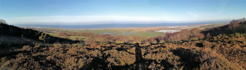
The monument comprises the remains of a earthen built round barrow, which probably dates to the Bronze Age (c. 2300 - 800 BC) and is sited on sloping ground in enclosed unimproved moorland, with a covering of grass, heather and bracken. The barrow is surrounded by a ditch and measures 23m in diameter. The ditch is 1m deep, with the barrow standing to a height of 2m above the ditch base. There are traces of an outer bank in places measuring 10-12cm high and a hollow in the centre and an irregularity on the northern side which affects the ditch.
The monument is of national importance for its potential to enhance our knowledge of prehistoric burial and ritual practices. The features are an important relic of a prehistoric funerary and ritual landscape and retain significant archaeological potential. There is a strong probability of the presence of both intact ritual and burial deposits, together with environmental and structural evidence. Barrows may be part of a larger cluster of monuments and their importance can further enhanced by their group value. The scheduled area comprises the remains described and areas around them within which related evidence may be expected to survive.
Source: Cadw
Other nearby scheduled monuments