Approximate Location Map
Large Map »
This site is entirely user-supported. See how you can help.
Latitude: 53.2937 / 53°17'37"N
Longitude: -3.4063 / 3°24'22"W
OS Eastings: 306363
OS Northings: 378337
OS Grid: SJ063783
Mapcode National: GBR 4ZNC.B0
Mapcode Global: WH76G.NG5V
Entry Name: Moel Hiraddug Hillfort
Scheduled Date:
Source: Cadw
Source ID: 3089
Cadw Legacy ID: FL012
Schedule Class: Defence
Category: Hillfort
Period: Prehistoric
County: Denbighshire (Sir Ddinbych)
Community: Dyserth
Built-Up Area: Dyserth
Traditional County: Flintshire
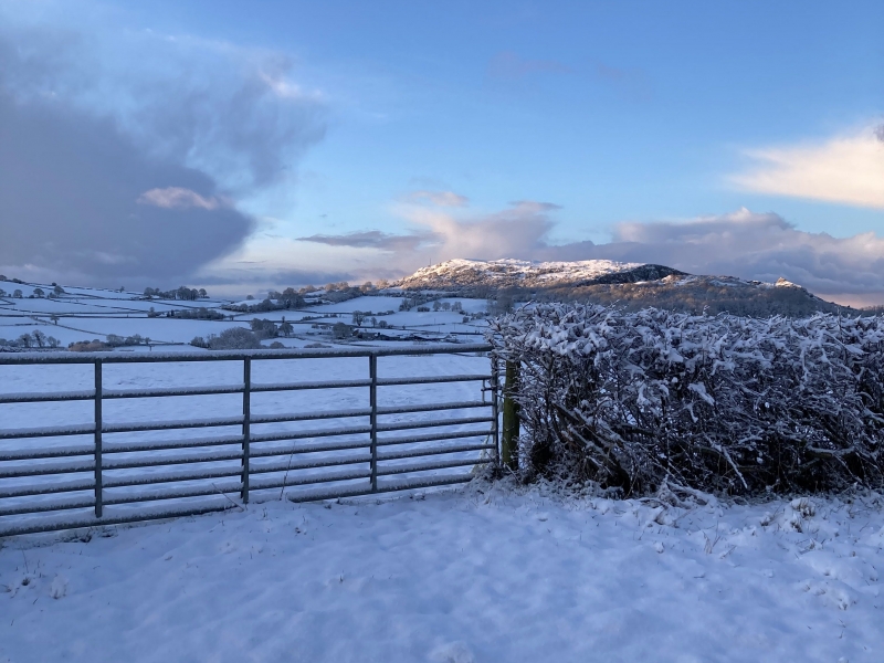
Moel Hiraddug comprises the remains of a defended enclosure or hillfort. Such monuments probably date to the Iron Age period (c. 800 BC - AD 74), although several are known to date from the Late Bronze Age with activity through to the early post-Roman period. Moel Hiraddug hillfort is located on the east side of the Vale of Clwyd, 6km south-east of Rhyl. It is a large partly multivallate site occupying an elongated ridge of carboniferous limestone approximately 1.25km north-south and 0.6km east-west. There are extensive views, particularly to the west, of the coastline and beyond Denbigh Moors to Snowdonia. The north, south and west sides of the hill are precipitate outcrops and scree slopes, the east side is a gentler slope down to the irregular plateau and upland between here and the Dee Estuary. The site has been disturbed by quarrying in the past mainly on the north, west and east sides. The north end of the hillfort, including the qateway, has been destroyed by large-scale quarry workings. The defences are minimal or incomplete on the west side, most complex on the east side - taking the form of a series of now spread or turf-covered banks - and on the south side, as a number of outworks outlying the south gateway. Internally it is subdivided or modified by the innermost of the four banks on the east side swinging upslope and then south to define a large western and smaller eastern enclosure. This bank is cut by the main inner gateway. Other gateways exist in the south-east corner, and existed, until 1954, on the north side. Occupation is visible as round platforms cut back into the slopes.
A collection of late Iron Age metalwork, including shield fittings, was found in making a road to a mine on the summit in 1872 and excavations were carried out on the fort itself in advance of quarrying over the period 1954-1980. These examined some internal buildings, but concentrated on the ramparts.
The monument is of national importance for its potential to enhance our knowledge of later prehistoric defensive organisation and settlement. The site forms an important element within the wider later prehistoric context and within the surrounding landscape. The site is well preserved and retains considerable archaeological potential. There is a strong probability of the presence of evidence relating to chronology, building techniques and functional detail.
The scheduled area comprises the remains described and areas around them within which related evidence may be expected to survive.
Source: Cadw
Other nearby scheduled monuments