Approximate Location Map
Large Map »
This site is entirely user-supported. See how you can help.
Latitude: 51.7736 / 51°46'25"N
Longitude: -4.4563 / 4°27'22"W
OS Eastings: 230626
OS Northings: 211185
OS Grid: SN306111
Mapcode National: GBR D8.ZF94
Mapcode Global: VH3LS.PPZ5
Entry Name: Hillslope Enclosure at Laugharne Park Holiday Village
Scheduled Date: 13 November 1985
Source: Cadw
Source ID: 421
Cadw Legacy ID: CM232
Schedule Class: Monument
Category: Enclosure
Period: Prehistoric
County: Carmarthenshire (Sir Gaerfyrddin)
Community: Laugharne Township (Treflan Lacharn)
Built-Up Area: Laugharne
Traditional County: Carmarthenshire
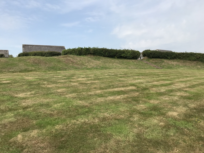
The monument comprises the remains of a small D-shaped enclosure probably dating to the Iron Age (c. 800 BC - 43 AD) and located immediately above a steep slope overlooking the River Taf estuary to the SE. The enclosure is defined by a single incomplete grass covered and earthen built bank that is semi-circular in shape on plan. It measures c. 80m NE-SW by c. 35m transversely and up to 2m in height. The site has been disturbed in the past and the enclosing bank peters out towards the SW side. The site was partially excavated in c. 1907, but no datable finds were produced.
The monument is of national importance for its potential to enhance our knowledge of prehistoric domestic and defensive practices. The monument is an important relic of the prehistoric landscape. It may retain significant archaeological potential, with a strong probability of the presence of structural evidence, including buried prehistoric land surfaces, still surviving.
The scheduled area comprises the remains described and an area around them within which related evidence may be expected to survive. It is an irregular D-shaped polygon and measures 96m NE-SW by 60m transversely.
Source: Cadw
Other nearby scheduled monuments