Approximate Location Map
Large Map »
This site is entirely user-supported. See how you can help.
Latitude: 51.5436 / 51°32'37"N
Longitude: -3.2933 / 3°17'35"W
OS Eastings: 310407
OS Northings: 183541
OS Grid: ST104835
Mapcode National: GBR HS.FVR2
Mapcode Global: VH6DY.VGTH
Entry Name: Five Round Barrows on Garth Hill
Scheduled Date:
Source: Cadw
Source ID: 631
Cadw Legacy ID: GM107
Schedule Class: Religious, Ritual and Funerary
Category: Round barrow
Period: Prehistoric
County: Cardiff (Caerdydd)
Community: Pentyrch
Traditional County: Glamorgan
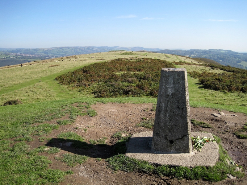
The monument comprises the remains of a group of five Bronze Age (c. 2300 BC – 800 BC) round barrows. The barrows are aligned WSW-ENE in a row along the summit of Garth Hill. They are visible as prominent grass-covered earthen mounds and vary in size from 9m to 37m in diameter and from 0.6m to 4.3m in height.
The monument is of national importance for its potential to enhance our knowledge of prehistoric burial and ritual practices. It is an important relic of a prehistoric funerary and ritual landscape and retains significant archaeological potential, with a strong probability of the presence of both intact burial or ritual deposits, together with environmental and structural evidence, including buried prehistoric land surfaces. Their importance is further enhanced by their group value.
The scheduled area comprises the remains described and areas around them within which related evidence may be expected to survive:
Area A includes a single barrow, is circular, measuring 30m in diameter and located 90 metres WSW of Area B. Area B includes a pair of barrows, is rectangular, measuring 55m ENE-WSW by 45m transversely. Area C includes a single barrow, is circular, measuring 22m in diameter and located 90 metres ENE of Area B. Area D also includes a single barrow, is circular, measuring 40m in diameter and located 225 metres ENE of Area C.
Source: Cadw
Other nearby scheduled monuments