Approximate Location Map
Large Map »
This site is entirely user-supported. See how you can help.
Latitude: 55.1655 / 55°9'55"N
Longitude: -3.6827 / 3°40'57"W
OS Eastings: 292906
OS Northings: 586979
OS Grid: NX929869
Mapcode National: GBR 28QQ.J3
Mapcode Global: WH5W3.DFLD
Entry Name: Mullach,fort
Scheduled Date: 22 July 1937
Last Amended: 20 February 1995
Source: Historic Environment Scotland
Source ID: SM657
Schedule Class: Cultural
Category: Prehistoric domestic and defensive: fort (includes hill and promontory fort)
Location: Kirkmahoe
County: Dumfries and Galloway
Electoral Ward: Lochar
Traditional County: Dumfriesshire
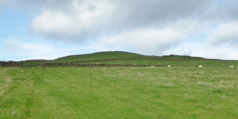
The monument consists of the remains of an Iron Age hillfort,
situated on the summit of Mullach.
The fort encloses an area some 110m E-W by 120m, and is defended by concentric stone-built walls about 25-28m apart. The inner wall is slight, and only visible on the S part of the circuit, as a grassed- over bank some 0.3m high. The outer wall survives as a grassy bank up
to 2m wide and 0.5m high. Again, it is best preserved in the S
portion, the N part showing as a slight scarp only. A gap in the
walls at the SE side suggests an entrance, but the site is too
heavily overgrown for more detail to be recorded.
There are reports of vitrified material (stones fused by heat,
perhaps from the burning of a timber-laced rampart) from the site,
but no such material is visible now. The hill is recorded as a beacon-stance in 1448, but whether this was on the grounds of contemporary use or the discovery of burnt stones at that time is not known.
The area to be scheduled is an irregular polygon taking in the summit
of the hill and measuring a maximum of 210m N-S by 210m E-W, to
include the fort, its ramparts or walls, and a small area outside in which evidence relating to its construction and use may survive, as marked in red on the accompanying map.
Source: Historic Environment Scotland
Bibliography
No Bibliography entries for this designation
Source: Historic Environment Scotland
Other nearby scheduled monuments