Approximate Location Map
Large Map »
This site is entirely user-supported. See how you can help.
Latitude: 56.1905 / 56°11'25"N
Longitude: -3.5249 / 3°31'29"W
OS Eastings: 305464
OS Northings: 700814
OS Grid: NO054008
Mapcode National: GBR 1W.FS3M
Mapcode Global: WH5Q4.TNNM
Entry Name: Tullibole, church and burial ground
Scheduled Date: 28 February 2000
Source: Historic Environment Scotland
Source ID: SM8023
Schedule Class: Cultural
Category: Ecclesiastical: church
Location: Fossoway
County: Perth and Kinross
Electoral Ward: Kinross-shire
Traditional County: Kinross-shire
The monument comprises the remains of a church of uncertain date, visible mostly as grass-covered wall footings, and a disused burial ground of a sub-circular form.
The monument lies at around 155m OD. It comprises the remains of a church that measures about 21m E-W by about 6m transversely. The walls, which are about 0.6m thick, are visible for most of their extent as grass-covered wall footings, except at the centre of the N side of the church, where the wall is about 1.5m high. There are the wall footings of a further two rectangular buildings within the churchyard; the first is about 4m to the E of the church. The second lies some 24m to the N of the church. Both of these may be associated with the church.
The church of Tullibole is mentioned in 1616, when 'Sir John Healladay of Tullebol advocat who died at Tilleboll upon the ... day of ... and was beired at the kirk ther, and was carried from heis castle there to the said kirk upon mun-day the 8 March, 1619: being Conveyed with many Noble Honourable and Worship-full persones: all marching upon foot to the said kirk'.
The churches of Fossoway and Tullibole were taken down in 1729, and were replaced by a new church and manse at Tullibole. This in turn fell into disuse in 1780. The remains within the burial ground may represent two phases of the church, probably pre- and post-1729.
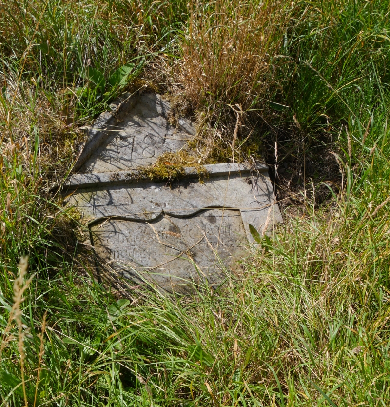
The church lies within a disused burial ground containing mostly 17th and 18th century funerary monuments. There is also the fragmentary remains of a carved stone with three partial rows of the tegulated pattern characteristic of hogback monuments. The stone lies S of the ruined church and measures about 100cm by 35cm, with a varying depth of about 20cm. It has been cut down on all sides, and appears to be a fragment of a larger monument.
In Scotland, hogback stones are thought to date from the mid 10th century until the early 12th century. In the late 19th century, a class III cross-slab ornamented with interlace work, a hunting scene, two men wrestling and two coiled, horned beasts was found lying in the burial ground immediately S of the foundations of the old church. It was removed to the National Museum of Antiquities in 1891.
The area proposed for scheduling comprises the remains described and an area around them, within which related material may be expected to be found. The area is sub-circular with maximum dimensions of 90m N-S by 75m E-W as marked in red on the accompanying map. The wall of the churchyard is deliberately included in the scheduling, but the road surface at the east is excluded.
Source: Historic Environment Scotland
The monument is of national importance as an example of a medieval church that was extensively rebuilt in the early 18th century. The existence of the hogbacked monument, the cross slab and the irregular circular shape of the burial ground all suggest that this site was in ecclesiastical use from about the 11th to late 18th century. The archaeology of the site has the potential to contribute to an understanding of medieval and early modern ecclesiastical architecture, sculpture, religious practices and material.
Source: Historic Environment Scotland
Bibliography
RCAHMS records the monument as NO 00 SE 8 and 24.
Bibliography:
Galloway, W. (1879) 'Notice of a sculptured stone in the churchyard at Tullibole, Kinross-shire', Proc Soc Antiq Scot, 13, 1878-9, 316-20.
Moncrieff, R. & A. (eds.) The Annals of Kinross-shire (Fossway & District Community Council).
OSA (1791-9) The statistical account of Scotland, drawn up from the communications of the ministers of the different parishes, Sir John Sinclair (ed.), Edinburgh, Vol. 18, 446-7.
RCAHMS (1933) The Royal Commission on the Ancient and Historical Monuments and Constructions of Scotland. Eleventh report with inventory of monuments and constructions in the counties of Fife, Kinross, and Clackmannan, Edinburgh, 291, No. 554.
Source: Historic Environment Scotland
Other nearby scheduled monuments