Ancient Monuments

History on the Ground

This site is entirely user-supported. See how you can help.

Torwoodlee, broch, fort & linear earthworks

A Scheduled Monument in Tweeddale East, Scottish Borders

More Photos »
Approximate Location Map
Large Map »

If Google Street View is available, the image is from the best available vantage point looking, if possible, towards the location of the monument. Where it is not available, the satellite view is shown instead.

Coordinates

Latitude: 55.6367 / 55°38'11"N

Longitude: -2.8516 / 2°51'5"W

OS Eastings: 346486

OS Northings: 638450

OS Grid: NT464384

Mapcode National: GBR 83J8.F7

Mapcode Global: WH7WG.5LB7

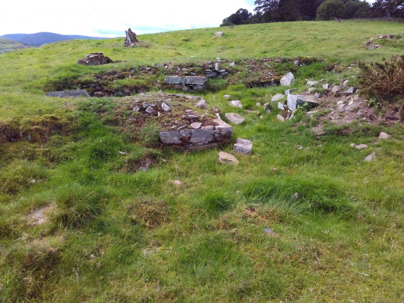
Entry Name: Torwoodlee, broch, fort & linear earthworks

Scheduled Date: 8 June 1964

Source: Historic Environment Scotland

Source ID: SM2448

Schedule Class: Cultural

Category: Prehistoric domestic and defensive: broch

Location: Caddonfoot

County: Scottish Borders

Electoral Ward: Tweeddale East

Traditional County: Selkirkshire

Sources

Bibliography
No Bibliography entries for this designation

Source: Historic Environment Scotland

Other nearby scheduled monuments

AncientMonuments.uk is an independent online resource and is not associated with any government department. All government data published here is used under licence. Please do not contact AncientMonuments.uk for any queries related to any individual ancient or schedued monument, planning permission related to scheduled monuments or the scheduling process itself.

AncientMonuments.uk is a Good Stuff website.