Approximate Location Map
Large Map »
This site is entirely user-supported. See how you can help.
Latitude: 56.7983 / 56°47'53"N
Longitude: -2.3595 / 2°21'34"W
OS Eastings: 378140
OS Northings: 767473
OS Grid: NO781674
Mapcode National: GBR XC.4DF1
Mapcode Global: WH8R6.QDM6
Entry Name: Bridgeton Hill,cairn 900m ENE of Mains of Bridgeton
Scheduled Date: 5 March 1992
Source: Historic Environment Scotland
Source ID: SM5318
Schedule Class: Cultural
Category: Prehistoric ritual and funerary: cairn (type uncertain)
Location: St Cyrus
County: Aberdeenshire
Electoral Ward: Mearns
Traditional County: Kincardineshire
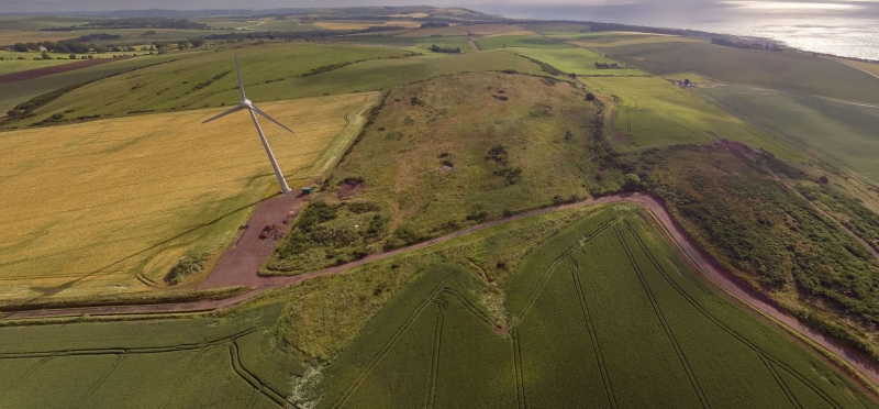
The monument is a burial cairn of the Early Bronze Age, some 2500 to 3000 years old. It is situated just to the S of the summit of the hill. It measures 19m in diameter and up to 2.6m in height. It will cover at least one burial and other burials may have been dug into its surface; earlier burials or cultivation remains may have been covered by the cairn. The march dyke and fences between Mains of Bridgeton and Mains of Brotherton cross the mound.
The area to be scheduled measures 60m in diameter, centred on the cairn, to include the cairn and an area around it which features associated with its construction and use may survive, as marked in red on the attached map; the above ground elements of the wall and fences crossing the site are specifically excluded.
Source: Historic Environment Scotland
The monument is of national importance as a well preserved burial cairn which has the potential to enhance considerably our understanding of prehistoric burial and ceremonial practices. It is of particular importance because of its likely relationship with the unusual cairn known as The Cloch, 470m to the N; it seems that this cairn has been deliberately sited just far enough off the summit of the hill to be invisible from The Cloch.
Source: Historic Environment Scotland
Bibliography
No Bibliography entries for this designation
Source: Historic Environment Scotland
Other nearby scheduled monuments