Approximate Location Map
Large Map »
This site is entirely user-supported. See how you can help.
Latitude: 55.6687 / 55°40'7"N
Longitude: -6.0684 / 6°4'6"W
OS Eastings: 144268
OS Northings: 649199
OS Grid: NR442491
Mapcode National: GBR CFDQ.P6C
Mapcode Global: WGZJM.RSH4
Entry Name: Ardilistry,stone setting 200m NE of
Scheduled Date: 5 March 1993
Source: Historic Environment Scotland
Source ID: SM5648
Schedule Class: Cultural
Category: Prehistoric ritual and funerary: stone circle or ring
Location: Kildalton
County: Argyll and Bute
Electoral Ward: Kintyre and the Islands
Traditional County: Argyllshire
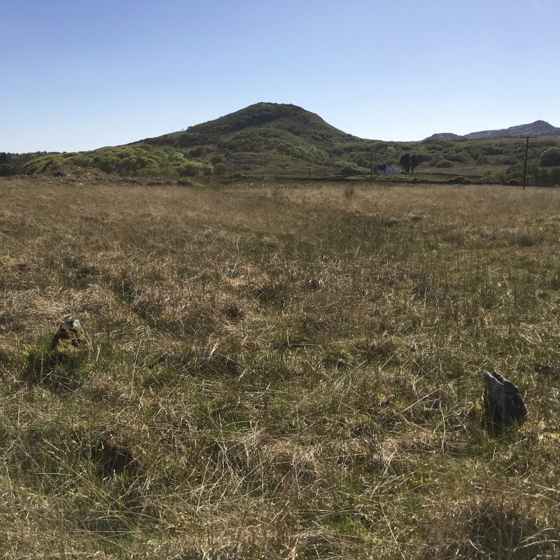
The monument conprises a setting of four closely-spaced stones, probably Early Bronze Age in date, which stands on poorly drained level ground 200m NE of Ardilistry.
Each stone measures about 0.5m by 0.2m at the base and all have suffered considerable damage; only the N stone, a truncated pyramid 0.4m high, appears to survive to anything approaching its original height. The E, S and W stones are no more than stumps, 0.3m, 0.6m and 0.2m high respectively.
The area to be scheduled measures 50m in diameter to include the four-poster and an area around in which evidence associated with the construction and use of the monument may survive, as marked in red on the attached map.
Source: Historic Environment Scotland
The monument is of national importance because stone settings are rare in the W of Scotland (the main concentration being in the E, particularly Perthshire) and this four-poster is the only example of its type so far identified in Argyll. This monument, which is also smaller than the average example of its type, has the potential to provide information about Early Bronze Age ritual practice.
Source: Historic Environment Scotland
Bibliography
RCAHMS records the monument as NR 44 NW 27.
Reference:
RCAHMS 1984, Inventory for Islay, Jura, Colonsay and Oronsay, No. 76.
Source: Historic Environment Scotland
Other nearby scheduled monuments