Ancient Monuments

History on the Ground

This site is entirely user-supported. See how you can help.

Yellowcraig Wood,homestead 370m north of

A Scheduled Monument in Stirling North, Stirling

More Photos »
Approximate Location Map
Large Map »

If Google Street View is available, the image is from the best available vantage point looking, if possible, towards the location of the monument. Where it is not available, the satellite view is shown instead.

Coordinates

Latitude: 56.1568 / 56°9'24"N

Longitude: -3.9042 / 3°54'15"W

OS Eastings: 281820

OS Northings: 697647

OS Grid: NS818976

Mapcode National: GBR 1D.J4VT

Mapcode Global: WH4P1.0H3Z

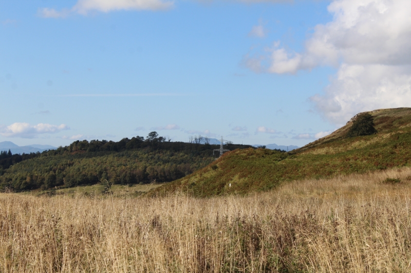
Entry Name: Yellowcraig Wood,homestead 370m N of

Scheduled Date: 23 February 1967

Source: Historic Environment Scotland

Source ID: SM2586

Schedule Class: Cultural

Category: Prehistoric domestic and defensive: homestead

Location: Logie (Stirling)

County: Stirling

Electoral Ward: Stirling North

Traditional County: Perthshire

Sources

Bibliography
No Bibliography entries for this designation

Source: Historic Environment Scotland

Other nearby scheduled monuments

AncientMonuments.uk is an independent online resource and is not associated with any government department. All government data published here is used under licence. Please do not contact AncientMonuments.uk for any queries related to any individual ancient or schedued monument, planning permission related to scheduled monuments or the scheduling process itself.

AncientMonuments.uk is a Good Stuff website.