Ancient Monuments

History on the Ground

This site is entirely user-supported. See how you can help.

Chester Hill,fort

A Scheduled Monument in Clydesdale East, South Lanarkshire

More Photos »
Approximate Location Map
Large Map »

If Google Street View is available, the image is from the best available vantage point looking, if possible, towards the location of the monument. Where it is not available, the satellite view is shown instead.

Coordinates

Latitude: 55.6381 / 55°38'17"N

Longitude: -3.6646 / 3°39'52"W

OS Eastings: 295312

OS Northings: 639536

OS Grid: NS953395

Mapcode National: GBR 23V7.DR

Mapcode Global: WH5SS.PK44

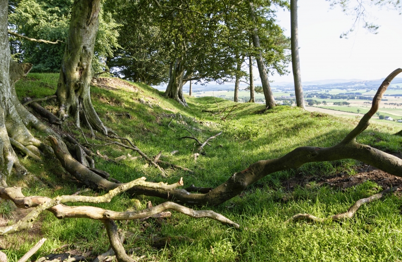
Entry Name: Chester Hill,fort

Scheduled Date: 3 July 1967

Source: Historic Environment Scotland

Source ID: SM2598

Schedule Class: Cultural

Category: Prehistoric domestic and defensive: fort (includes hill and promontory fort)

Location: Covington

County: South Lanarkshire

Electoral Ward: Clydesdale East

Traditional County: Lanarkshire

Sources

Bibliography
No Bibliography entries for this designation

Source: Historic Environment Scotland

Other nearby scheduled monuments

AncientMonuments.uk is an independent online resource and is not associated with any government department. All government data published here is used under licence. Please do not contact AncientMonuments.uk for any queries related to any individual ancient or schedued monument, planning permission related to scheduled monuments or the scheduling process itself.

AncientMonuments.uk is a Good Stuff website.