Approximate Location Map
Large Map »
This site is entirely user-supported. See how you can help.
Latitude: 52.8707 / 52°52'14"N
Longitude: -2.8466 / 2°50'47"W
OS Eastings: 343108.86789
OS Northings: 330695.632102
OS Grid: SJ431306
Mapcode National: GBR 7C.RC13
Mapcode Global: WH8B0.73QK
Entry Name: Motte castle on the north bank of Crose Mere, 730m south west of Whattal Farm
Scheduled Date: 12 July 1972
Last Amended: 18 September 2001
Source: Historic England
Source ID: 1020289
English Heritage Legacy ID: 34915
County: Shropshire
Civil Parish: Cockshutt
Traditional County: Shropshire
Lieutenancy Area (Ceremonial County): Shropshire
Church of England Parish: Petton
Church of England Diocese: Lichfield
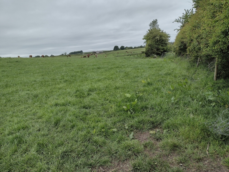
The monument includes the earthwork and buried remains of a motte castle,
occupying a natural defensive position on top of a low ridge separating Crose
Mere from Whattal Moss. From this location there are extensive views of the
surrounding country, particularly to the south and west. The oval-shaped motte
measures approximately 36m by 56m at its base and 22m by 42m across the top.
In order to create a level building platform over the natural ridge the north
eastern and south western sides of the motte were built to a greater height
than to the east. The north eastern and south western sides are both about
3.3m high, while the eastern side stands to a height of 1.6m. On the north
western side the motte is defined by a ditch, 11m wide. The south western part
of the ditch is bounded by an external rampart, which lies at the base of a
natural depression. The rampart is between 12m and 13m wide, and for much of
its length is just over 2m high. The north eastern part of the ditch has been
infilled, but it will survive as a buried feature. A slightly sunken trackway
cuts across the earthworks and part of the south west side of the motte has
been quarried for soil.
In the late 19th century an archaeological excavation was undertaken here and
a trench dug across the ditch. The lower deposits in the ditch were found to
be waterlogged and in the upper deposits animal bones, a cylindrical piece of
iron and a fragment of bronze, possibly part of a sword sheath, were
discovered.
All fence and gate posts are excluded from the scheduling, although the ground
beneath them is included.
MAP EXTRACT
The site of the monument is shown on the attached map extract.
It includes a 2 metre boundary around the archaeological features,
considered to be essential for the monument's support and preservation.
Source: Historic England
Motte castles are medieval fortifications introduced into Britain by the
Normans. They comprised a large conical mound of earth or rubble, the motte,
surmounted by a palisade and a stone or timber tower. In a majority of
examples an embanked enclosure containing additional buildings, the bailey,
adjoined the motte. Motte castles and motte-and-bai1ey castles acted as
garrison forts during offensive military operations, as strongholds, and, in
many cases, as aristocratic residences and as centres of local or royal
administration. Built in towns, villages and open countryside, motte castles
generally occupied strategic positions dominating their immediate locality
and, as a result, are the most visually impressive monuments of the early
post-Conquest period surviving in the modern landscape. Over 600 motte castles
and motte-and-bailey castles are recorded nationally, with examples known from
most regions. Some 100-150 examples do not have baileys and are classified as
motte castles. As one of a restricted range of recognised early post-Conquest
monuments, they are particularly important for the study of Norman Britain and
the development of the feudal system. Although many were occupied for only a
short period of time, motte castles continued to be built and occupied from
the 11th to the 13th centuries, after which they were superseded by other
types of castle.
Although the motte castle on the north bank of Crose Mere 730m south west of
Whattal Farm has been the subject of some disturbance in modern times it
remains a good example of this class of monument. The motte will retain
evidence of its construction and the buried remains of the structures built
upon its summit. These structural remains, together with the associated
artefacts and organic remains, will provide valuable evidence about the
lifestyles of those who inhabited the castle. The small-scale archaeological
excavation has given a clear indication of the nature of the deposits within
the ditch and the types of artefacts and organic remains which have been
preserved. It is also expected that organic remains will be preserved in the
buried ground surfaces beneath the motte and the rampart, which will provide
information about the local environment and the use of the land prior to the
construction of the motte.
Source: Historic England
Books and journals
Peake, H J E, 'Transactions of the Shropshire Archaeological Society 3rd Series' in A Few Notes Respecting The Entrenchments At Stockett, , Vol. 9, (1909), ix-x
Source: Historic England
Other nearby scheduled monuments