Approximate Location Map
Large Map »
This site is entirely user-supported. See how you can help.
Latitude: 54.3413 / 54°20'28"N
Longitude: -0.8033 / 0°48'11"W
OS Eastings: 477896.232025
OS Northings: 494630.344734
OS Grid: SE778946
Mapcode National: GBR QLT7.WJ
Mapcode Global: WHF9H.M4PQ
Entry Name: Old Wife's Mound round barrow, 750m north west of Low Leaf Howe House
Scheduled Date: 22 January 1969
Last Amended: 21 January 1999
Source: Historic England
Source ID: 1018409
English Heritage Legacy ID: 30149
County: North Yorkshire
Civil Parish: Cropton
Traditional County: Yorkshire
Lieutenancy Area (Ceremonial County): North Yorkshire
Church of England Parish: Cropton St Gregory
Church of England Diocese: York
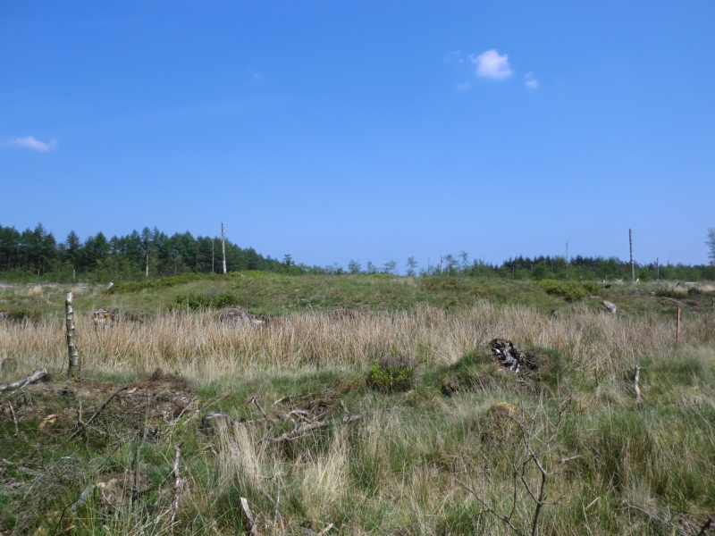
The monument includes the buried and earthwork remains of a prehistoric burial
mound known as Old Wife's Mound, located on the summit of Wrelton Moor. The
barrow survives as an 18m diameter mound rising up to about 0.8m in height
with an irregular central hollow up to 8m across, considered to be the result
of a 19th century antiquarian excavation. The barrow lies 250m NNW of Leaf
Howe, a larger barrow which is the subject of a separate scheduling.
MAP EXTRACT
The site of the monument is shown on the attached map extract.
It includes a 3 metre boundary around the archaeological features,
considered to be essential for the monument's support and preservation.
Source: Historic England
Bowl barrows, the most numerous form of round barrow, are funerary monuments
dating from the Late Neolithic period to the Late Bronze Age, with most
examples belonging to the period 2400-1500 BC. They were constructed as
earthen or rubble mounds, sometimes ditched, which covered single or multiple
burials. They occur either in isolation or grouped as cemeteries and often
acted as a focus for burials in later periods. Often superficially similar,
although differing widely in size, they exhibit regional variations in form
and a diversity of burial practices. There are over 10,000 surviving bowl
barrows recorded nationally (many more have already been destroyed), occurring
across most of lowland Britain. Often occupying prominent locations, they are
a major historic element in the modern landscape and their considerable
variation of form and longevity as a monument type provide important
information on the diversity of beliefs and social organisations amongst early
prehistoric communities. They are particularly representative of their period
and a substantial proportion of surviving examples are considered worthy of
protection.
Old Wife's Mound is a good example of a medium sized round barrow. The
majority of round barrows in the region were dug into by 19th century
antiquarians in search of burials and artefacts, leaving behind a central
depression as evidence of their work. However, excavations in the latter half
of the 20th century have shown that round barrows typically contain
archaeological information that survives earlier digging. Secondary burials
tend to be located within the main body of the mound and sometimes one of
these was mistaken for the primary burial which was usually the goal of the
antiquarian. Even when the primary burial has been excavated, further
secondary burials often survive in the undisturbed surrounding part of the
mound. Additional valuable information about the mound's construction and the
local environment at the time of its construction will also survive
antiquarian excavation.
Source: Historic England
Books and journals
Smith, M J B, Excavated Bronze Age Burial Mounds of Durham and N' land., (1994), 121
Other
Ordinance Survey record card, SE 79 SE 15, (1973)
Source: Historic England
Other nearby scheduled monuments