Approximate Location Map
Large Map »
This site is entirely user-supported. See how you can help.
Latitude: 53.4238 / 53°25'25"N
Longitude: -1.9707 / 1°58'14"W
OS Eastings: 402044.650467
OS Northings: 391892.224605
OS Grid: SK020918
Mapcode National: GBR GXPV.4C
Mapcode Global: WHB9Z.P6SK
Entry Name: Round cairn between Coombes Edge and Cown Edge
Scheduled Date: 5 January 1995
Source: Historic England
Source ID: 1009048
English Heritage Legacy ID: 23320
County: Derbyshire
Civil Parish: Charlesworth
Traditional County: Derbyshire
Lieutenancy Area (Ceremonial County): Derbyshire
Church of England Parish: Charlesworth St John the Evangelist
Church of England Diocese: Derby
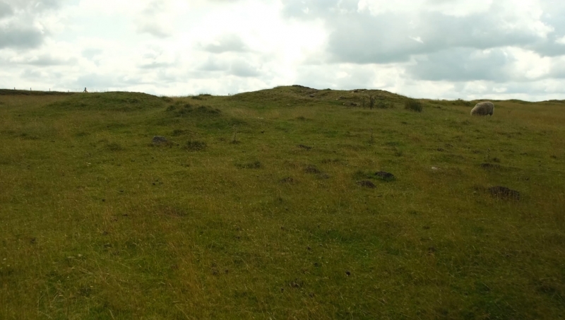
The monument is located in the north west fringes of the western gritstone
moorlands of the Peak District and is prominently situated near the head of
a discrete gritstone spur, sandwiched between Coombes Edge to the north west
and Cown Edge to the south east. It includes a sub-circular grass-covered
gritstone cairn measuring 13m by 10m by 1.5m high which has suffered some
surface disturbance due to the activities of Enclosure period stone-getters.
Although it has not been excavated, its form, location and similarity to
other monuments of this class date it to the Bronze Age. In addition, it
is associated with the only Bronze Age cairnfield so far identified on the
western gritstone uplands. Although this cairnfield is also of substantial
archaeological importance, it has not been fully surveyed and its extent is
not sufficiently understood for it to be included in the scheduling at this
time.
MAP EXTRACT
The site of the monument is shown on the attached map extract.
It includes a 2 metre boundary around the archaeological features,
considered to be essential for the monument's support and preservation.
Source: Historic England
Round cairns are prehistoric funerary monuments dating to the Bronze Age
(c.2000-700 BC). They were constructed as stone mounds covering single or
multiple burials. These burials may be placed within the mound in stone-lined
compartments called cists. In some cases the cairn was surrounded by a ditch.
Often occupying prominent locations, cairns are a major visual element in the
modern landscape. They are a relatively common feature of the uplands and are
the stone equivalent of the earthen round barrows of the lowlands. Their
considerable variation in form and longevity as a monument type provide
important information on the diversity of beliefs and social organisation
amongst early prehistoric communities. They are particularly representative of
their period and a substantial proportion of surviving examples are considered
worthy of protection.
The cairn between Coombes Edge and Cown Edge is a reasonably well preserved
example which, although somewhat disturbed by stone-getting, retains
substantial intact archaeological remains and is associated with other
important Bronze Age features.
Source: Historic England
Books and journals
Barnatt, J, The Peak District Barrow Survey (1989), (1989)
Other
Barnatt, J W, Peak District Barrow Survey, 1989, unpublished survey
Source: Historic England
Other nearby scheduled monuments