Approximate Location Map
Large Map »
This site is entirely user-supported. See how you can help.
Latitude: 53.3093 / 53°18'33"N
Longitude: -1.8012 / 1°48'4"W
OS Eastings: 413341.211116
OS Northings: 379167.183796
OS Grid: SK133791
Mapcode National: GBR HZV5.VF
Mapcode Global: WHCCS.92JV
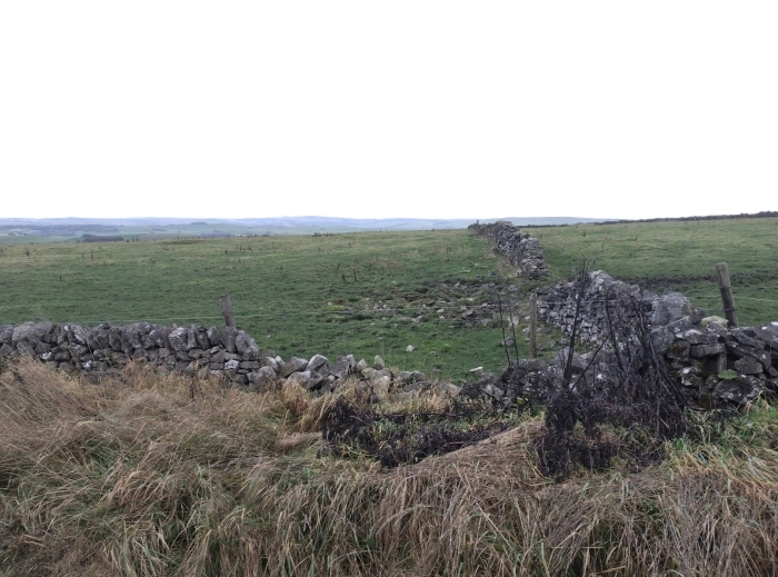
Entry Name: Batham Gate, Roman road
Scheduled Date:
Source: Historic England
Source ID: 1007051
English Heritage Legacy ID: DR 88
County: Derbyshire
Civil Parish: Tideswell
Traditional County: Derbyshire
Lieutenancy Area (Ceremonial County): Derbyshire
Church of England Parish: Tideswell St John the Baptist
Church of England Diocese: Derby
This record has been generated from an "old county number" (OCN) scheduling record. These are monuments that were not reviewed under the Monuments Protection Programme and are some of our oldest designation records. As such they do not yet have the full descriptions of their modernised counterparts available. Please contact us if you would like further information.
Source: Historic England
Other nearby scheduled monuments