Approximate Location Map
Large Map »
This site is entirely user-supported. See how you can help.
Latitude: 53.1863 / 53°11'10"N
Longitude: -2.8892 / 2°53'21"W
OS Eastings: 340679.9307
OS Northings: 365831.8016
OS Grid: SJ406658
Mapcode National: GBR 7B.36P9
Mapcode Global: WH88F.L5FP
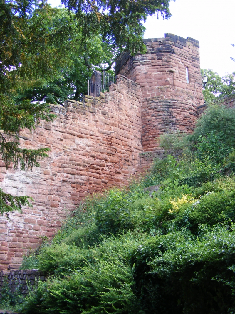
Entry Name: The walls, towers, gates and posterns of the City of Chester
Scheduled Date:
Source: Historic England
Source ID: 1006785
English Heritage Legacy ID: CH 7
County: Cheshire West and Chester
Electoral Ward/Division: Chester City
Built-Up Area: Chester
Traditional County: Cheshire
Lieutenancy Area (Ceremonial County): Cheshire
Church of England Parish: Chester, St Peter
Church of England Diocese: Chester
This record has been generated from an "old county number" (OCN) scheduling record. These are monuments that were not reviewed under the Monuments Protection Programme and are some of our oldest designation records. As such they do not yet have the full descriptions of their modernised counterparts available. Please contact us if you would like further information.
This list entry was subject to a Minor Amendment on 29/09/2011
Source: Historic England
Other nearby scheduled monuments