Approximate Location Map
Large Map »
This site is entirely user-supported. See how you can help.
Latitude: 53.4105 / 53°24'37"N
Longitude: -1.0176 / 1°1'3"W
OS Eastings: 465402.473272
OS Northings: 390857.640702
OS Grid: SK654908
Mapcode National: GBR PYB0.H4
Mapcode Global: WHFFV.BJPT
Entry Name: Manor Farm moat
Scheduled Date:
Source: Historic England
Source ID: 1006390
English Heritage Legacy ID: NT 65
County: Nottinghamshire
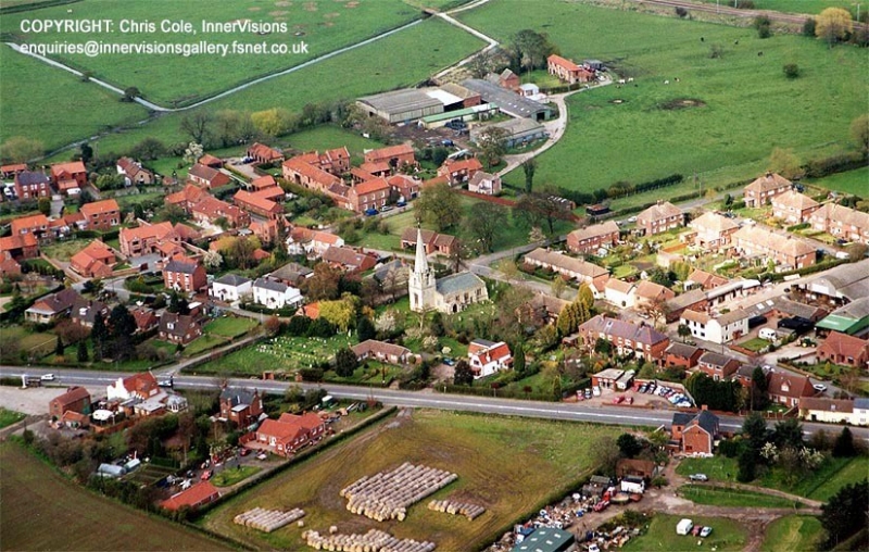
Civil Parish: Scrooby
Traditional County: Nottinghamshire
Lieutenancy Area (Ceremonial County): Nottinghamshire
Church of England Parish: Scrooby with Ranskill
Church of England Diocese: Southwell and Nottingham
This record has been generated from an "old county number" (OCN) scheduling record. These are monuments that were not reviewed under the Monuments Protection Programme and are some of our oldest designation records. As such they do not yet have the full descriptions of their modernised counterparts available. Please contact us if you would like further information.
Source: Historic England
Other nearby scheduled monuments