Approximate Location Map
Large Map »
This site is entirely user-supported. See how you can help.
Latitude: 52.2484 / 52°14'54"N
Longitude: -1.6171 / 1°37'1"W
OS Eastings: 426238.107167
OS Northings: 261208.017002
OS Grid: SP262612
Mapcode National: GBR 5MP.001
Mapcode Global: VHBXN.XRG6
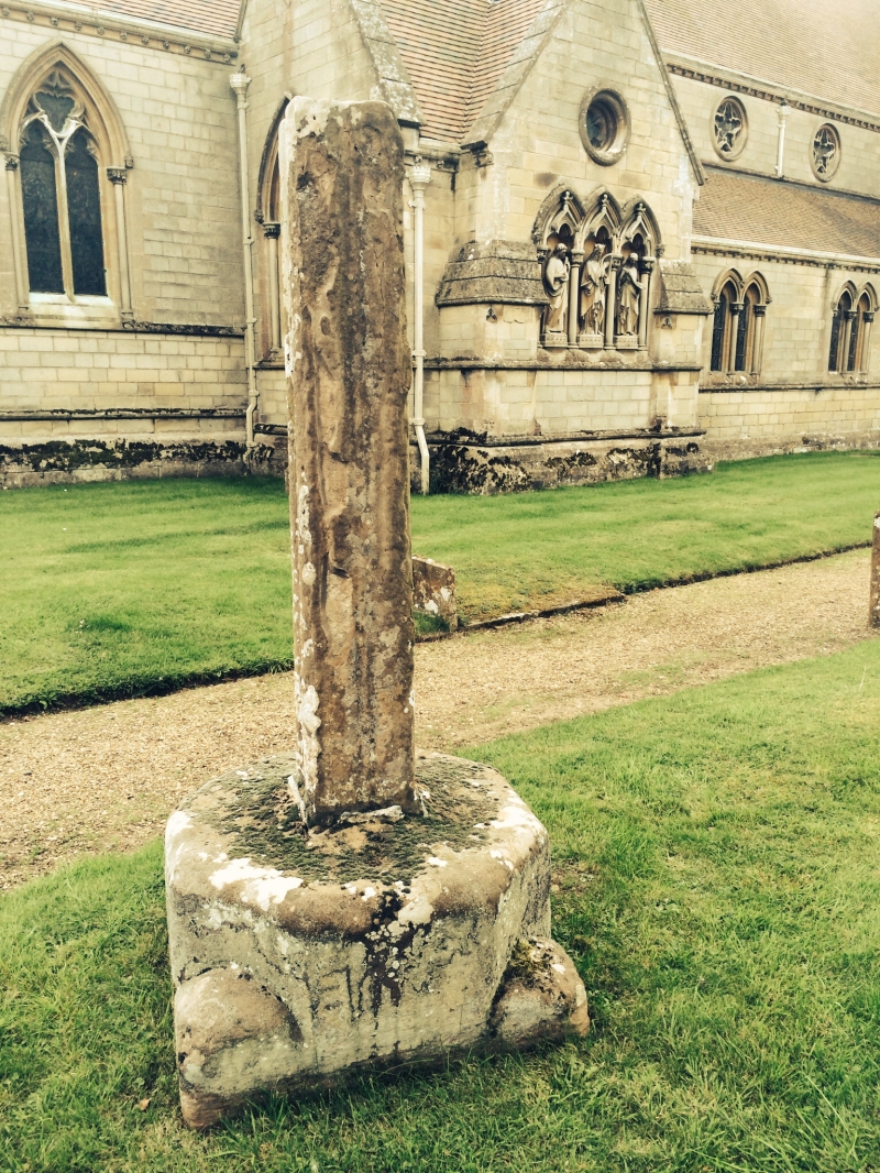
Entry Name: Sherbourne churchyard cross
Scheduled Date:
Source: Historic England
Source ID: 1005720
English Heritage Legacy ID: WA 161
County: Warwickshire
Civil Parish: Sherbourne
Traditional County: Warwickshire
Lieutenancy Area (Ceremonial County): Warwickshire
Church of England Parish: Sherbourne All Saints
Church of England Diocese: Coventry
This record has been generated from an "old county number" (OCN) scheduling record. These are monuments that were not reviewed under the Monuments Protection Programme and are some of our oldest designation records. As such they do not yet have the full descriptions of their modernised counterparts available. Please contact us if you would like further information.
Source: Historic England
Other nearby scheduled monuments