Approximate Location Map
Large Map »
This site is entirely user-supported. See how you can help.
Latitude: 51.4544 / 51°27'15"N
Longitude: -2.592 / 2°35'31"W
OS Eastings: 358957.848981
OS Northings: 172988.126012
OS Grid: ST589729
Mapcode National: GBR C8K.QH
Mapcode Global: VH88N.1P1Y
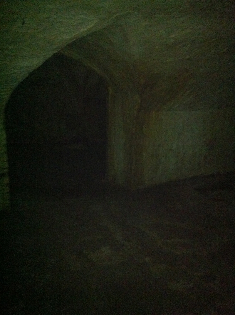
Entry Name: Vault in High Street
Scheduled Date:
Source: Historic England
Source ID: 1004540
English Heritage Legacy ID: BS 136
County: Bristol
Electoral Ward/Division: Central
Built-Up Area: Bristol
Traditional County: Gloucestershire
Lieutenancy Area (Ceremonial County): Bristol
Church of England Parish: Bristol St Stephen with St James and St John the Baptist with St Michael and St George
Church of England Diocese: Bristol
This record has been generated from an "old county number" (OCN) scheduling record. These are monuments that were not reviewed under the Monuments Protection Programme and are some of our oldest designation records. As such they do not yet have the full descriptions of their modernised counterparts available. Please contact us if you would like further information.
Source: Historic England
Other nearby scheduled monuments