Approximate Location Map
Large Map »
This site is entirely user-supported. See how you can help.
Latitude: 53.2332 / 53°13'59"N
Longitude: -3.5405 / 3°32'25"W
OS Eastings: 297271
OS Northings: 371791
OS Grid: SH972717
Mapcode National: GBR 6G.0BFT
Mapcode Global: WH65G.LZ8R
Entry Name: Mynydd y Gaer Camp
Scheduled Date:
Source: Cadw
Source ID: 1022
Cadw Legacy ID: DE082
Schedule Class: Defence
Category: Hillfort
Period: Prehistoric
County: Conwy
Community: Llannefydd (Llanefydd)
Traditional County: Denbighshire
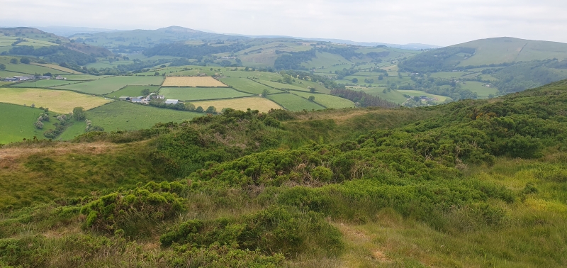
A Hillfort: The S.E. entrance has the appearance of a more modern breach in the bank, similar to another breach in the bank c. 18 M. N.E - Both having been used as accesses for modern tracks. However, a broad internal ditch c. 12 M. wide and an internal bank c. 1.7 M. high begins within this S.E. entrance and extends part way along the east side, cut by a modern field bank. Beyond this it may have been spread, erased by recent ploughing. The whole of the east half of the interior has been cleared to its shaley subsoil and bedrock. One of the small fields in the west half is improved pasture. The outlying bank to the S. of the S.E. entrance is indistinguishable from field banks in the area, although it merges with the counterscarp of the defences on the south side of the hillfort. A track leads along the ditch to the midway point and may have modified the counterscarp. The ditch is incomplete-evident as a continuous dip varying in depth from 0.7 M. to 2.5 M. deep below the varying height of the counterscarp, or as a series of quarry ditches, more irregular and incomplete. Little trace of internal stone defences, the interior being raised considerably over the perimeter defences. A spread of shale roughly parallel to the defences in the east half may be connected with this. Bedrock outcrops within the ditch and most noticeably N. and E of the centre.
The monument is of national importance for its potential to enhance our knowledge of prehistoric settlement and defence. It retains significant archaeological potential, with a strong probability of the presence of associated archaeological features and deposits. The structures themselves may be expected to contain archaeological information concerning chronology and building techniques.
The scheduled area comprises the remains described and areas around them within which related evidence may be expected to survive.
Source: Cadw
Other nearby scheduled monuments