Approximate Location Map
Large Map »
This site is entirely user-supported. See how you can help.
Latitude: 51.8781 / 51°52'41"N
Longitude: -4.589 / 4°35'20"W
OS Eastings: 221885
OS Northings: 223118
OS Grid: SN218231
Mapcode National: GBR D2.RY32
Mapcode Global: VH2NW.D2T2
Entry Name: Llanboidy Mound & Bailey Castle
Scheduled Date: 3 May 1951
Source: Cadw
Source ID: 2117
Cadw Legacy ID: CM098
Schedule Class: Defence
Category: Motte & Bailey
Period: Medieval
County: Carmarthenshire (Sir Gaerfyrddin)
Community: Llanboidy
Traditional County: Carmarthenshire
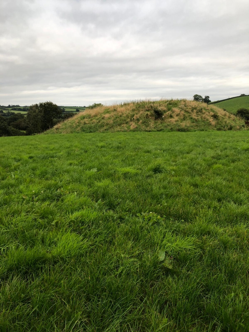
The monument comprises the remains of a motte and bailey castle, a military stronghold built during the medieval period. A motte and bailey castle comprises a large conical or pyramidal mound of soil or stone (the motte) surrounded by, or adjacent to, one or more embanked enclosures (the bailey). Both may be surrounded by wet or dry ditches and could be further strengthened with palisades, revetments, and/or a tower on top of the motte. The remains are situated about 220m south-east of the medieval church of St Brynach laid out along the crest of a north-west to south-east ridge that rises above a stream confluence. The ditched motte measures c 36m in diameter rising c 4.5 m high to summit area of c 18m in diameter. The bailey, situated on the west, is nearly rectangular and measures c 37m east to west by c 46m north to south. The bailey bank has a maximum height of c 0.5 falling off to naturally sloping ground.
The monument is of national importance for its potential to enhance our knowledge of medieval defensive organisation. The well-preserved monument forms an important element within the wider medieval context and the structure itself may be expected to contain archaeological information relating to chronology, building techniques and functional detail.
The scheduled area comprises the remains described and areas around them within which related evidence may be expected to survive.
Source: Cadw
Other nearby scheduled monuments