Approximate Location Map
Large Map »
This site is entirely user-supported. See how you can help.
Latitude: 52.398 / 52°23'52"N
Longitude: -3.893 / 3°53'34"W
OS Eastings: 271300
OS Northings: 279460
OS Grid: SN713794
Mapcode National: GBR 90.Q44L
Mapcode Global: VH4FG.GZSL
Entry Name: Castell Bwa-drain Camp
Scheduled Date: 17 June 1960
Source: Cadw
Source ID: 1883
Cadw Legacy ID: CD121
Schedule Class: Defence
Category: Hillfort
Period: Prehistoric
County: Ceredigion
Community: Melindwr
Traditional County: Cardiganshire
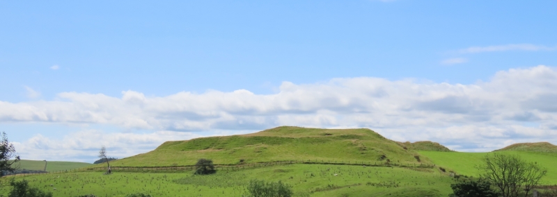
The monument comprises the remains of a hillfort, which probably dates to the Iron Age period (c. 800 BC - AD 74, the Roman conquest of Wales). Hillforts are usually located on hilltops and surrounded by a single or multiple earthworks of massive proportions. Hillforts must have formed symbols of power within the landscape, while their function may have had as much to do with ostentation and display as defence. Castell Bwa-drain is an oval enclosure measuring c.78m north-north-west to east-south-east by c.60m overall, on a small hill with steep slopes around it, especially on the south-west where the ground drops steeply to the river Rheidol. The west, north-east and south-east sides are defined by a single bank and ditch; the bank is c.0.5m high internally, and c.2m high externally. Old field boundaries run close to the defences on the west and south-east. The ditch is visible only along the south-east side. There is a simple, slightly inturned entrance on the east and another possible entrance at the north-west. Part of the southern edge of the site may have been lost to landslip or quarrying.
The monument is of national importance for its potential to enhance our knowledge of later prehistoric defensive organisation and settlement. The site forms an important element within the wider later prehistoric context and within the surrounding landscape. The site is well preserved and retains considerable archaeological potential. There is a strong probability of the presence of evidence relating to chronology, building techniques and functional detail.
The scheduled area comprises the remains described and areas around them within which related evidence may be expected to survive.
Source: Cadw
Other nearby scheduled monuments