Approximate Location Map
Large Map »
This site is entirely user-supported. See how you can help.
Latitude: 51.8125 / 51°48'45"N
Longitude: -4.6999 / 4°41'59"W
OS Eastings: 213985
OS Northings: 216102
OS Grid: SN139161
Mapcode National: GBR CY.WT18
Mapcode Global: VH2P0.HP6W
Entry Name: Caerau Gaer
Scheduled Date: 18 May 1950
Source: Cadw
Source ID: 2678
Cadw Legacy ID: PE176
Schedule Class: Defence
Category: Rath
Period: Prehistoric
County: Pembrokeshire (Sir Benfro)
Community: Llanddewi Velfrey (Llanddewi Efelffre)
Traditional County: Pembrokeshire
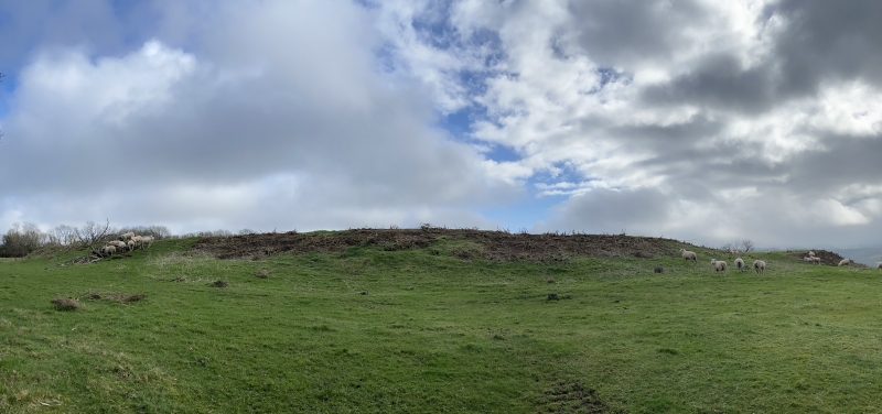
The monument comprises the remains of an earthwork enclosure. The date or precise nature of the enclosure is unknown, but it is likely to be later prehistoric or medieval. Caerau Gaer is situated on the slight slopes of a hilltop north of the Afon Marlais and comprises an oval shaped enclosure with its entrance on the west with an annexe to the east side. The main enclosure is defended by a single bank and ditch. The bank survives to a height of 1.6m - 2m externally and internally up to 1.5m though generally less. The ditch is only clearly visible along a 46m section on the east side. The area enclosed measures approximately 105m north to south and 88m east to west. The eastern annexe has two widely spaced banks; the inner about 55m from the main enclosure, the outer another 30m further out. Both these banks are ploughed out and only visible for a length of about 90m surviving to a height of 0.3m - 0.6m. The annexe will have enclosed an area of approximately 110m north to south by 70m east to west.
The monument is of national importance for its potential to enhance our knowledge of later prehistoric defensive organisation and settlement. The site forms an important element within the wider later prehistoric context and within the surrounding landscape. The site is well preserved and retains considerable archaeological potential. There is a strong probability of the presence of evidence relating to chronology, building techniques and functional detail.
The scheduled area comprises the remains described and areas around them within which related evidence may be expected to survive.
Source: Cadw
Other nearby scheduled monuments